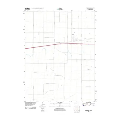
2010 Map of Kanorado
USGS Topo · Published 2010About this map
Kanorado sits directly on the border between Kansas and Colorado, anchoring a high plains landscape defined by a rigid grid of agricultural roads and the gentle drainage of the Beaver Creek system. The town's layout is centered around Front St and Old US Hwy 24, reflecting a classic mid-century transportation corridor before the arrival of modern interstate bypasses. Genealogists and local historians will find the locations of both the Kanorado Cemetery to the north and the Kanorado Catholic Cemetery to the southeast, providing a complete picture of the community's burial grounds. The terrain is marked by the winding paths of Middle Beaver Creek and South Beaver Creek, which break the geometric precision of the surrounding section lines, such as County Road Z and County Road AAA.
Find a feature on this map
30 named features on this map. Tap any name to fly to it.
Don’t see what you’re looking for? This feature index may not catch every label — zoom into the map to look around manually.
Map Details
Editions of this 2010 Kanorado Map
This is the sole edition of this map. No revisions or reprints were ever made.
Other maps of this area

1954 · Limon
USGS Topo · 1:250,000

1954 · Goodland
USGS Topo · 1:250,000

1956 · Goodland
USGS Topo · 1:250,000

1957 · Limon
USGS Topo · 1:250,000

1957 · Goodland
USGS Topo · 1:250,000

1958 · Limon
USGS Topo · 1:250,000

1959 · Horsethief Draw
USGS Topo · 1:62,500

1966 · Ruleton NW
USGS Topo · 1:24,000

1966 · Ruleton
USGS Topo · 1:24,000

1969 · Kanorado NE
USGS Topo · 1:24,000