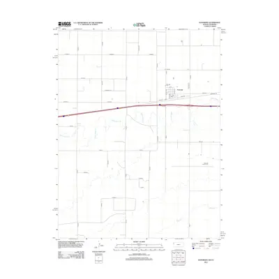
2012 Map of Kanorado
USGS Topo · Published 2012About this map
Kanorado sits as the primary settlement on this High Plains landscape, straddling the state line where the Kansas grid meets Colorado. The town’s layout is defined by its core streets such as Beech St and Locust St, with the Po serving as a central point of community activity. The surrounding agricultural landscape is etched by the winding paths of Middle Beaver Cr and S Beaver Cr, which provide the only relief from the strict rectilinear geometry of the county road system. Tracing the transport history of the region is possible through the presence of Old US Hwy 24 and Front St. Local history researchers will find the locations of the Kanorado Cem and Kanorado Catholic Cem valuable for genealogical study, both situated near the edges of the township's influence.
Find a feature on this map
33 named features on this map. Tap any name to fly to it.
Don’t see what you’re looking for? This feature index may not catch every label — zoom into the map to look around manually.
Map Details
Editions of this 2012 Kanorado Map
This is the sole edition of this map. No revisions or reprints were ever made.
Other maps of this area

1954 · Limon
USGS Topo · 1:250,000

1954 · Goodland
USGS Topo · 1:250,000

1956 · Goodland
USGS Topo · 1:250,000

1957 · Limon
USGS Topo · 1:250,000

1957 · Goodland
USGS Topo · 1:250,000

1958 · Limon
USGS Topo · 1:250,000

1959 · Horsethief Draw
USGS Topo · 1:62,500

1966 · Ruleton NW
USGS Topo · 1:24,000

1966 · Ruleton
USGS Topo · 1:24,000

1969 · Kanorado NE
USGS Topo · 1:24,000