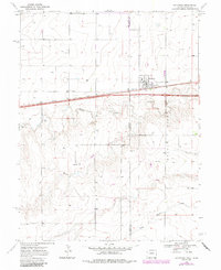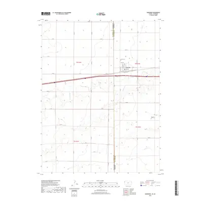
2022 Map of Kanorado
USGS Topo · Published 2022About this map
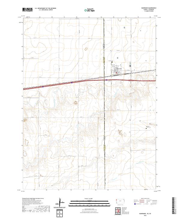
Kanorado sits directly on the high plains border between Kansas and Colorado, serving as a gateway community where the township lines of t8s r42w and t9s r42w meet. The town's grid is defined by its proximity to the interstate and the historical influence of the railroad, evidenced by N Railroad St and a network of local thoroughfares like Rule Ave and North Ave. This agricultural and transit-oriented landscape is bisected by the intermittent flows of Middle Beaver Cr and S Beaver Cr, which carve subtle drainage patterns through the surrounding sections.
Find a feature on this map
27 named features on this map. Tap any name to fly to it.
Don’t see what you’re looking for? This feature index may not catch every label — zoom into the map to look around manually.
Map Details
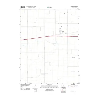
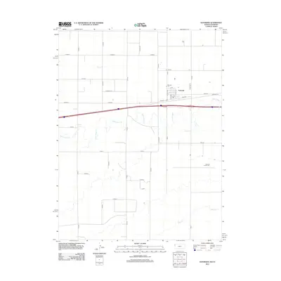
Editions of this 2022 Kanorado Map
This is the sole edition of this map. No revisions or reprints were ever made.
Historical Maps of Kanorado Through Time
6 maps found