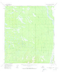
1953 Map of Kantishna River A-1
USGS Topo · Published 1983About this map
Toklat River winds through the eastern edge of this Alaskan interior landscape, a region defined by extensive marshes and complex drainage systems during the early 1950s. The presence of a Sled Road cutting across the terrain highlights the seasonal transportation methods essential to this subarctic environment before modern infrastructure. Central to the map is the site of Nineteenmile, marked as an abandoned settlement, which suggests the transient nature of early twentieth-century habitations in the Tanana Valley area. Fed by smaller tributaries like Clear Creek and Chitsia Creek, the landscape is a mosaic of swamps and lakes, reflecting a wild terrain that remained largely unsurveyed on the ground at the time of mapping.
Find a feature on this map
5 named features on this map. Tap any name to fly to it.
Don’t see what you’re looking for? This feature index may not catch every label — zoom into the map to look around manually.
Map Details
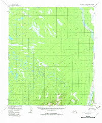
Editions of this 1953 Kantishna River A-1 Map
2 editions found
Other maps of this area

1948 · Kantishna River
USGS Topo · 1:250,000

1950 · Fairbanks
USGS Topo · 1:250,000

1951 · Healy
USGS Topo · 1:250,000

1951 · Kantishna River
USGS Topo · 1:250,000

1951 · Fairbanks
USGS Topo · 1:250,000

1951 · Mount McKinley D-1
USGS Topo · 1:63,360

1951 · Healy D-6
USGS Topo · 1:63,360

1952 · Mount McKinley
USGS Topo · 1:250,000

1952 · Fairbanks A-6
USGS Topo · 1:63,360

1952 · Kantishna River A-1
USGS Topo · 1:63,360