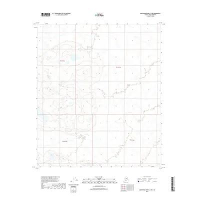
2017 Map of Kantishna River A-1 NW
USGS Topo · Published 2017About this map
Low-lying interior Alaskan wetlands and drainage basins dominate this 2017 survey within the Denali Borough. The landscape is defined by the complex hydrography of the Kantishna River valley, characterized by numerous small ponds, meandering streams, and marshy terrain typical of the subarctic wilderness. While the map is devoid of named settlements or individual landmarks, it provides a precise technical record of the Public Land Survey System divisions, including sections within townships T8S R15W, T8S R14W, T9S R15W, and T9S R14W. This document serves primarily as a topographical reference for the undeveloped regions north of the Alaska Range, where the natural water systems and elevation contours are the primary features of interest for environmental study and regional navigation.
Find a feature on this map
4 named features on this map. Tap any name to fly to it.
Don’t see what you’re looking for? This feature index may not catch every label — zoom into the map to look around manually.
Map Details
Editions of this 2017 Kantishna River A-1 NW Map
This is the sole edition of this map. No revisions or reprints were ever made.
Other maps of this area

1948 · Kantishna River
USGS Topo · 1:250,000

1951 · Kantishna River
USGS Topo · 1:250,000

1952 · Kantishna River A-1
USGS Topo · 1:63,360

1952 · Kantishna River
USGS Topo · 1:250,000

1952 · Kantishna River A-2
USGS Topo · 1:63,360

1952 · Kantishna River B-1
USGS Topo · 1:63,360

1953 · Kantishna River B-2
USGS Topo · 1:63,360
1953 · Kantishna River A-1
USGS Topo · 1:63,360

1964 · Kantishna River
USGS Topo · 1:250,000
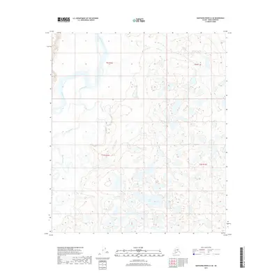
2017 · Kantishna River A-2 SE
USGS Topo · 1:25,000