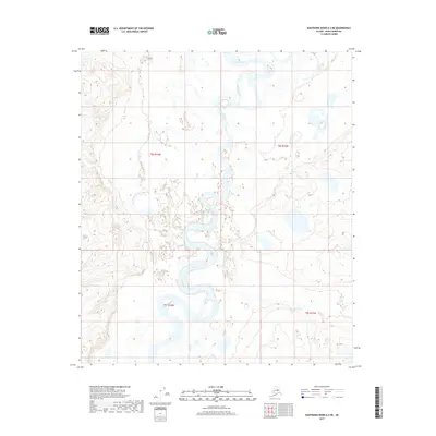
2017 Map of Kantishna River A-2 NE
USGS Topo · Published 2017About this map
The Kantishna River carves a complex, meandering path through this interior Alaska landscape, defining a terrain shaped by water and low-lying wetlands. The river's serpentine course is marked by numerous oxbow lakes and side channels, including the prominent Folger Slough in the northern portion of the quadrangle. This hydraulic environment is further detailed by the confluence of smaller tributaries such as Chitsia Cr, which flows into the main river channel from the south. The absence of roads or permanent settlements within the boundaries of Denali Borough shown here highlights a wilderness state where the river system serves as the primary geographic feature. The map provides a snapshot of this remote drainage basin, documenting the shifting hydrology of the Tanana Valley's feeder streams.
Find a feature on this map
6 named features on this map. Tap any name to fly to it.
Don’t see what you’re looking for? This feature index may not catch every label — zoom into the map to look around manually.
Map Details
Editions of this 2017 Kantishna River A-2 NE Map
This is the sole edition of this map. No revisions or reprints were ever made.
Other maps of this area

1948 · Kantishna River
USGS Topo · 1:250,000

1951 · Kantishna River
USGS Topo · 1:250,000

1952 · Kantishna River A-1
USGS Topo · 1:63,360

1952 · Kantishna River
USGS Topo · 1:250,000

1952 · Kantishna River A-2
USGS Topo · 1:63,360

1952 · Kantishna River B-1
USGS Topo · 1:63,360

1953 · Kantishna River B-2
USGS Topo · 1:63,360
1953 · Kantishna River A-1
USGS Topo · 1:63,360

1964 · Kantishna River
USGS Topo · 1:250,000
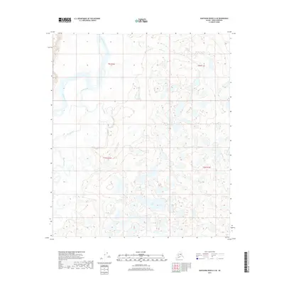
2017 · Kantishna River A-2 SE
USGS Topo · 1:25,000