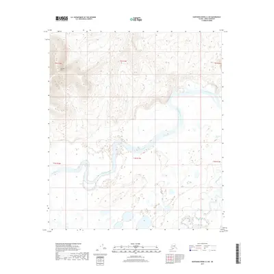
2017 Map of Kantishna River A-2 SW
USGS Topo · Published 2017About this map
Kantishna River and the meandering Bearpaw River dominate this interior landscape within the Denali Borough, carving through a complex network of wetlands and oxbow lakes. The drainage patterns revealed here show the significant hydrologic influence of these waterways as they transit the lowland reaches of the region. Rising above the river plains in the northwest corner, Bearpaw Mtn provides a stark topographical contrast to the surrounding alluvial flats. This 2017 survey by the U.S. Geological Survey utilizes high-resolution imagery and elevation data to precisely chart the shifting channels and seasonal flood zones that characterize this subarctic river system, serving as an essential record of the area's natural geography before further environmental changes occur.
Find a feature on this map
9 named features on this map. Tap any name to fly to it.
Don’t see what you’re looking for? This feature index may not catch every label — zoom into the map to look around manually.
Map Details
Editions of this 2017 Kantishna River A-2 SW Map
This is the sole edition of this map. No revisions or reprints were ever made.
Other maps of this area

1948 · Kantishna River
USGS Topo · 1:250,000

1951 · Kantishna River
USGS Topo · 1:250,000

1952 · Mount McKinley
USGS Topo · 1:250,000

1952 · Kantishna River A-3
USGS Topo · 1:63,360

1952 · Kantishna River
USGS Topo · 1:250,000

1952 · Kantishna River A-2
USGS Topo · 1:63,360

1952 · Mount McKinley D-3
USGS Topo · 1:63,360

1953 · Kantishna River A-3
USGS Topo · 1:63,360

1954 · Mount McKinley D-2
USGS Topo · 1:63,360

1958 · Mount McKinley
USGS Topo · 1:250,000