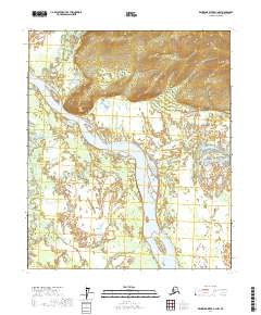
2017 Map of Kantishna River D-1 NW
USGS Topo · Published 2017About this map
The Tanana River dominates this interior Alaska landscape, carving a wide path through the Yukon-Koyukuk region. In the northwestern corner, the Baker area sits at the base of significant elevation gains, overseen by the prominent Giroux Bluff overlooking the river's bend. This 2017 survey shows a complex riparian environment where the Baker Cr and Zitiana River converge with the main waterway, creating a network of shifting bars and islands. Notable landforms within the river channel include Jennie M Island and Junction Island, which mark the dynamic nature of the fluvial system. Further east, the drainage of Dugan Cr cuts through the northern hills, illustrating the drainage patterns that define this subarctic wilderness. The map provides a clear look at the intersection of high bluffs and low-lying wetlands that characterize this reach of the Tanana.
Find a feature on this map
12 named features on this map. Tap any name to fly to it.
Don’t see what you’re looking for? This feature index may not catch every label — zoom into the map to look around manually.
Map Details
Editions of this 2017 Kantishna River D-1 NW Map
This is the sole edition of this map. No revisions or reprints were ever made.
Other maps of this area

1948 · Kantishna River
USGS Topo · 1:250,000

1951 · Kantishna River
USGS Topo · 1:250,000

1951 · Tanana
USGS Topo · 1:250,000

1952 · Tanana A-1
USGS Topo · 1:63,360

1952 · Tanana A-2
USGS Topo · 1:63,360

1952 · Kantishna River
USGS Topo · 1:250,000

1952 · Kantishna River D-2
USGS Topo · 1:63,360

1953 · Tanana A-2
USGS Topo · 1:63,360
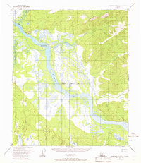
1953 · Kantishna River D-1
USGS Topo · 1:63,360
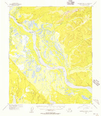
1954 · Kantishna River D-1
USGS Topo · 1:63,360