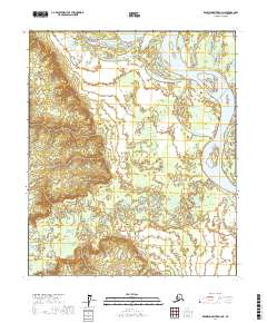
2017 Map of Kantishna River D-4 NE
USGS Topo · Published 2017About this map
The Tanana River and its intricate network of sloughs dominate the northern landscape of this interior Alaska region. The river winds around Murray Island and through Harper Bend, revealing a complex aquatic environment where the main channel meets numerous side streams and marshes. In the southern portion of the quadrangle, the Chitanana River creates a dense pattern of oxbows and meanders as it flows through the lowlands, illustrating the dynamic nature of these subarctic waterways. This 2017 survey provides a high-resolution view of the hydrology and terrain within the Yukon-Koyukuk Census Area, showing the natural boundary lines and topographic elevations that define this roadless wilderness area between the Tanana and its tributaries.
Find a feature on this map
10 named features on this map. Tap any name to fly to it.
Don’t see what you’re looking for? This feature index may not catch every label — zoom into the map to look around manually.
Map Details
Editions of this 2017 Kantishna River D-4 NE Map
This is the sole edition of this map. No revisions or reprints were ever made.
Other maps of this area

1948 · Kantishna River
USGS Topo · 1:250,000

1951 · Kantishna River
USGS Topo · 1:250,000

1951 · Tanana
USGS Topo · 1:250,000

1952 · Tanana A-3
USGS Topo · 1:63,360

1952 · Tanana A-4
USGS Topo · 1:63,360

1952 · Kantishna River
USGS Topo · 1:250,000

1952 · Kantishna River D-3
USGS Topo · 1:63,360

1953 · Tanana A-3
USGS Topo · 1:63,360
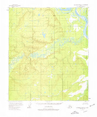
1953 · Kantishna River D-4
USGS Topo · 1:63,360
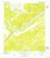
1954 · Kantishna River D-3
USGS Topo · 1:63,360