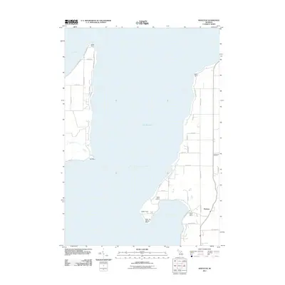
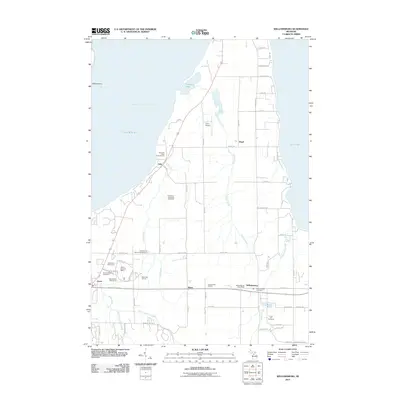
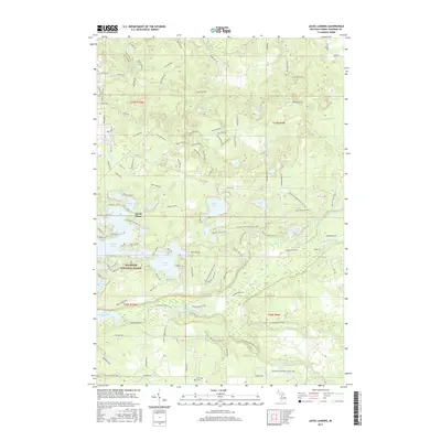
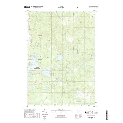
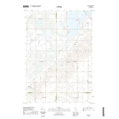
1983 Map of Karlin
USGS Topo · Published 1984About this map
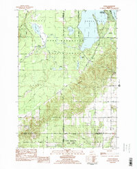
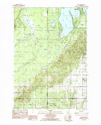
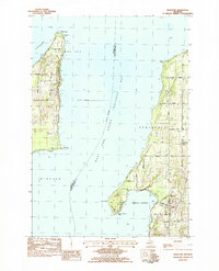
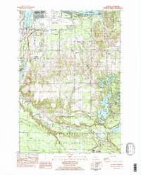
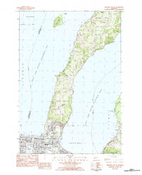
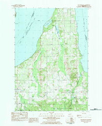
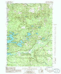
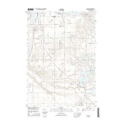
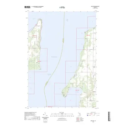
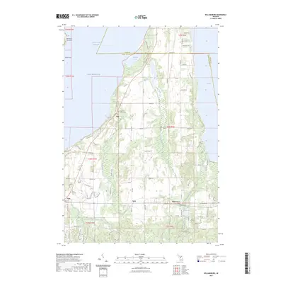
Green Lake and the northern reaches of the Pere Marquette State Forest dominate this early 1980s landscape at the junction of Benzie and Grand Traverse Counties. The settlement of Karlin serves as a central point for a grid of rural roads, including Karlin Road and Nessen Road, which navigate around prominent terrain like the Twin Mountains. Local heritage is preserved in the locations of the De Lorne Cem and Holy Family Cem, while the Grant Ch marks a focal point for the surrounding Grant township community.
Find a feature on this map
59 named features on this map. Tap any name to fly to it.
Don’t see what you’re looking for? This feature index may not catch every label — zoom into the map to look around manually.
Map Details
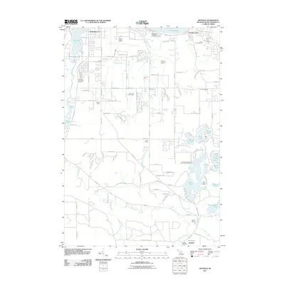
Editions of this 1983 Karlin Map
2 editions found
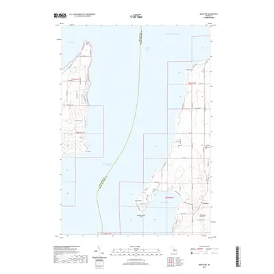
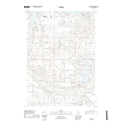
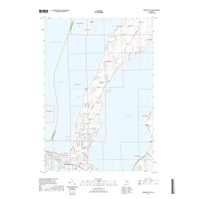
Historical Maps of Green Lake Township Through Time
44 maps found
1976 Thompsonville NE
Grand Traverse County, MI
1976 Thompsonville SE
Grand Traverse County, MI
1983 Karlin
Grand Traverse County, MI
1983 Mapleton
Grand Traverse County, MI
1983 Mayfield
Grand Traverse County, MI
1983 Traverse City SE
Grand Traverse County, MI
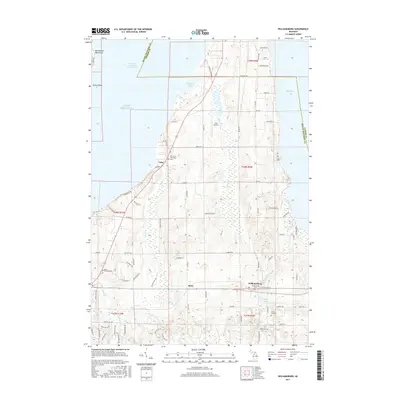
1983 Williamsburg
Grand Traverse County, MI
1985 Jacks Landing
Grand Traverse County, MI
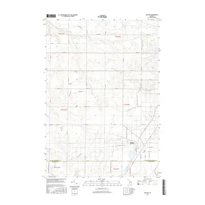
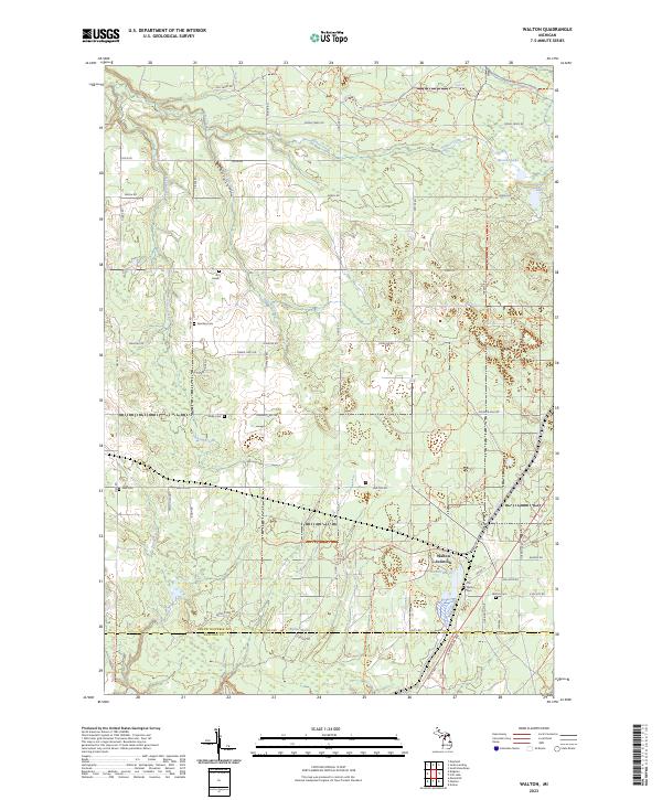
1985 Walton
Grand Traverse County, MI
2011 Jacks Landing
Grand Traverse County, MI
2011 Karlin
Grand Traverse County, MI
2011 Mapleton
Grand Traverse County, MI
2011 Mayfield
Grand Traverse County, MI
2011 Traverse City SE
Grand Traverse County, MI
2011 Walton
Grand Traverse County, MI
2011 Williamsburg
Grand Traverse County, MI
2014 Jacks Landing
Grand Traverse County, MI
2014 Karlin
Grand Traverse County, MI
2014 Mapleton
Grand Traverse County, MI
2014 Mayfield
Grand Traverse County, MI
2014 Traverse City SE
Grand Traverse County, MI
2014 Walton
Grand Traverse County, MI
2014 Williamsburg
Grand Traverse County, MI
2017 Jacks Landing
Grand Traverse County, MI
2017 Karlin
Grand Traverse County, MI
2017 Mapleton
Grand Traverse County, MI
2017 Mayfield
Grand Traverse County, MI
2017 Traverse City SE
Grand Traverse County, MI
2017 Walton
Grand Traverse County, MI
2017 Williamsburg
Grand Traverse County, MI
2019 Jacks Landing
Grand Traverse County, MI
2019 Karlin
Grand Traverse County, MI
2019 Mapleton
Grand Traverse County, MI
2019 Mayfield
Grand Traverse County, MI
2019 Traverse City SE
Grand Traverse County, MI
2019 Walton
Grand Traverse County, MI
2019 Williamsburg
Grand Traverse County, MI
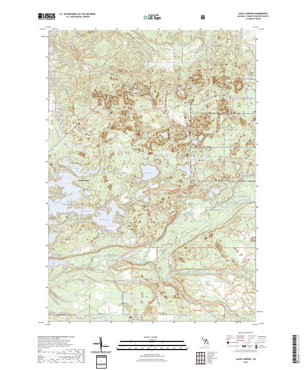
2023 Jacks Landing
Grand Traverse County, MI
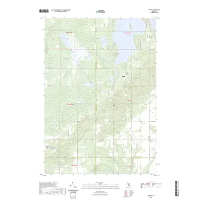
2023 Karlin
Grand Traverse County, MI
2023 Mapleton
Grand Traverse County, MI
2023 Mayfield
Grand Traverse County, MI
2023 Traverse City SE
Grand Traverse County, MI
2023 Walton
Grand Traverse County, MI
2023 Williamsburg
Grand Traverse County, MI
Featured Locations
- Grant Township, MI
- Green Lake Township, MI
- Cleon Township, MI
- Karlin, Grant Township
- Pavlovic Corner, Grant Township