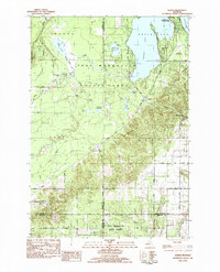
1983 Map of Karlin
USGS Topo · Published 1984About this map
The Pere Marquette State Forest dominates this northern Michigan landscape, where the Betsie River and its tributary, the Little Betsie River, wind through the townships of Colfax and Grant. The settlement of Karlin serves as a central point in a region characterized by glacial lake basins and the prominent Twin Mountains. In the northeast, the southern reaches of Interlochen State Park front the waters of Green Lake and Duck Lake, marking a transition from wilder forest lands to established recreational areas.
Find a feature on this map
56 named features on this map. Tap any name to fly to it.
Don’t see what you’re looking for? This feature index may not catch every label — zoom into the map to look around manually.
Map Details
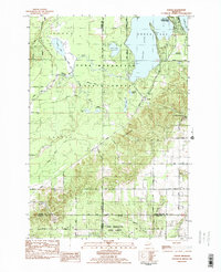
Editions of this 1983 Karlin Map
2 editions found
Other maps of this area

1954 · Traverse City
USGS Topo · 1:250,000

1956 · Kingsley
USGS Topo · 1:62,500

1956 · Mesick
USGS Topo · 1:62,500

1956 · Thompsonville
USGS Topo · 1:62,500

1957 · Copemish
USGS Topo · 1:62,500

1958 · Traverse City
USGS Topo · 1:250,000

1976 · Thompsonville NE
USGS Topo · 1:24,000
1976 · Thompsonville SW
USGS Topo · 1:24,000

1976 · Thompsonville NW
USGS Topo · 1:24,000

1976 · Thompsonville SE
USGS Topo · 1:24,000
Featured Places
- Green Lake Township, MI
- Grant Township, MI
- Cleon Township, MI
- Pavlovic Corner, Grant Township
- Karlin, Grant Township