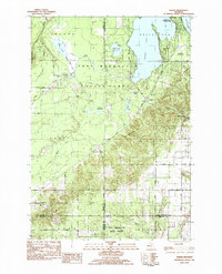
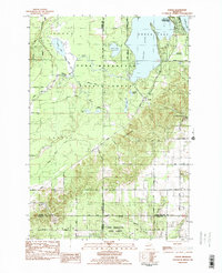
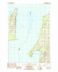
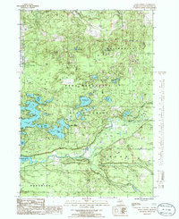
1983 Map of Karlin
USGS Topo · Published 1984This historical map portrays the area of Karlin in 1983, primarily covering Grand Traverse County as well as portions of Wexford County, Manistee County, and Benzie County. Featuring a scale of 1:25000, this map provides a highly detailed snapshot of the terrain, roads, buildings, counties, and historical landmarks in the Karlin region at the time. Published in 1984, it is one of 2 known editions of this map due to revisions or reprints.
Find a feature on this map
56 named features on this map. Tap any name to fly to it.
Don’t see what you’re looking for? This feature index may not catch every label — zoom into the map to look around manually.
Map Details
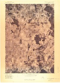
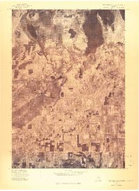
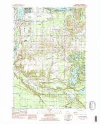
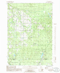
Editions of this 1983 Karlin Map
2 editions found
Historical Maps of Grand Traverse County Through Time
9 maps found
1976 Thompsonville NE
Grand Traverse County, MI
1976 Thompsonville SE
Grand Traverse County, MI
1983 Karlin
Grand Traverse County, MI
1983 Mapleton
Grand Traverse County, MI
1983 Mayfield
Grand Traverse County, MI
1983 Traverse City SE
Grand Traverse County, MI
1983 Williamsburg
Grand Traverse County, MI
1985 Jacks Landing
Grand Traverse County, MI
1985 Walton
Grand Traverse County, MI
Featured Locations
- Grant Township, MI
- Green Lake Township, MI
- Cleon Township, MI
- Karlin, Grant Township
- Pavlovic Corner, Grant Township