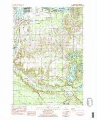
1983 Map of Mayfield
USGS Topo · Published 1984About this map
The southeastern edge of Traverse City anchors this 1980s landscape, where urban infrastructure meets the dense lake country of Garfield and East Bay townships. Significant regional landmarks define the northern corridor, including the Cherry Capital Municipal Airport, the US Coast Guard Air Station, and Traverse City State Park fronting the East Arm Grand Traverse Bay. The mapping captures a critical period of development as commercial and residential roads like South Airport Road and Hammond Road intersect with the legacy of the Chesapeake and Ohio RR.
Find a feature on this map
63 named features on this map. Tap any name to fly to it.
Don’t see what you’re looking for? This feature index may not catch every label — zoom into the map to look around manually.
Map Details
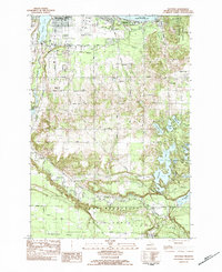
Editions of this 1983 Mayfield Map
2 editions found
Other maps of this area

1954 · Traverse City
USGS Topo · 1:250,000

1956 · Fife Lake
USGS Topo · 1:62,500

1956 · Kingsley
USGS Topo · 1:62,500

1957 · Traverse City
USGS Topo · 1:62,500

1957 · Elk Rapids
USGS Topo · 1:62,500

1958 · Traverse City
USGS Topo · 1:250,000

1983 · Buckley
USGS Topo · 1:25,000

1983 · Traverse City SE
USGS Topo · 1:25,000

1983 · Traverse City
USGS Topo · 1:100,000
1983 · Grawn
USGS Topo · 1:25,000
Featured Places
- Garfield Township, MI
- Traverse City, MI
- East Bay Township, MI
- East Bay Charter Township, East Bay Township
- Blair Township, MI