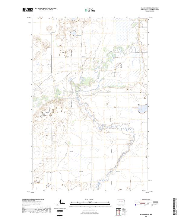
2024 Map of Karlsruhe NE
USGS Topo · Published 2024About this map
The Souris River meanders through this portion of McHenry County, creating a complex wetland environment that defines the local landscape. The junction where the Wintering River feeds into the main channel is surrounded by extensive marshland, much of which is preserved within the McHenry County Waterfowl Production Area. This terrain of glacial potholes and river bottoms is characteristic of the North Dakota prairie, where water bodies like Poison Lake and Heffner Lake dot the sections between a grid of rural section-line roads.
Find a feature on this map
29 named features on this map. Tap any name to fly to it.
Don’t see what you’re looking for? This feature index may not catch every label — zoom into the map to look around manually.
Map Details
Editions of this 2024 Karlsruhe NE Map
This is the sole edition of this map. No revisions or reprints were ever made.
Other maps of this area

1949 · Riga
USGS Topo · 1:24,000

1949 · Karlsruhe NW
USGS Topo · 1:24,000

1949 · Denbigh
USGS Topo · 1:24,000

1950 · Karlsruhe NE
USGS Topo · 1:24,000

1950 · Towner
USGS Topo · 1:24,000

1950 · Denbigh
USGS Topo · 1:24,000

1954 · Minot
USGS Topo · 1:250,000

1955 · Rangeley NW
USGS Topo · 1:24,000

1957 · Bergen
USGS Topo · 1:24,000

1957 · Karlsruhe
USGS Topo · 1:24,000