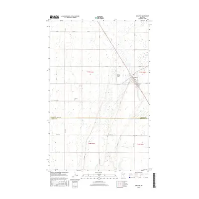
2016 Map of Karlstad
USGS Topo · Published 2016About this map
The city of Karlstad serves as the primary hub of this northwestern Minnesota landscape, positioned at the intersection of local routes and the rail line. The town's layout is centered around Main St and 1st St S, while the Karlstad Municipal Airport sits just to the northwest. This area of Kittson County is characterized by a managed water system, including the engineered Lateral Ditch Number Five and the natural winding course of the Tamarac River in the south.
Find a feature on this map
41 named features on this map. Tap any name to fly to it.
Don’t see what you’re looking for? This feature index may not catch every label — zoom into the map to look around manually.
Map Details
Editions of this 2016 Karlstad Map
This is the sole edition of this map. No revisions or reprints were ever made.
Other maps of this area

1919 · Pelan
USGS Topo · 1:62,500

1952 · Thief River Falls
USGS Topo · 1:250,000

1956 · Thief River Falls
USGS Topo · 1:250,000

1956 · Karlstad
USGS Topo · 1:62,500

1956 · Florian
USGS Topo · 1:62,500

1957 · Thief River Falls
USGS Topo · 1:250,000

1957 · Newfolden
USGS Topo · 1:62,500

1957 · Pelan
USGS Topo · 1:62,500

1967 · Thief River Falls
USGS Topo · 1:250,000
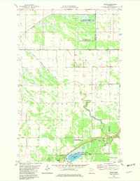
1982 · Pelan
USGS Topo · 1:24,000