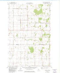
1982 Map of Karlstad SW
USGS Topo · Published 1982About this map
Spring Brook and Augsburg townships define the geometric layout of this rural landscape in the early 1980s. The terrain is notably flat, characterized by a grid of section lines and drainage infrastructure like County Ditch No 10 that reflects the area's agricultural development. Settlement is sparse, with local civic life centered around the Oslo Cem and small communal structures like the Townhall located along the township lines. The southeastern corner of the map features the Nelson Park and Deerwood areas, where the landscape transitions into more wooded patches. These features, along with several scattered Gravel Pits, highlight a region defined by land management and natural resource extraction at the border of Kittson and Marshall counties.
Find a feature on this map
11 named features on this map. Tap any name to fly to it.
Don’t see what you’re looking for? This feature index may not catch every label — zoom into the map to look around manually.
Map Details
Editions of this 1982 Karlstad SW Map
2 editions found
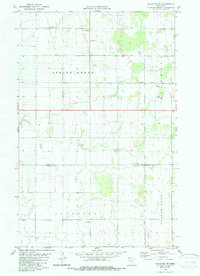
Other maps of this area

1918 · Argyle
USGS Topo · 1:62,500

1939 · Kennedy
USGS Topo · 1:62,500

1941 · Kennedy
USGS Topo · 1:62,500

1952 · Thief River Falls
USGS Topo · 1:250,000

1954 · Stephen
USGS Topo · 1:62,500

1956 · Thief River Falls
USGS Topo · 1:250,000

1956 · Karlstad
USGS Topo · 1:62,500

1956 · Florian
USGS Topo · 1:62,500

1957 · Thief River Falls
USGS Topo · 1:250,000

1967 · Thief River Falls
USGS Topo · 1:250,000