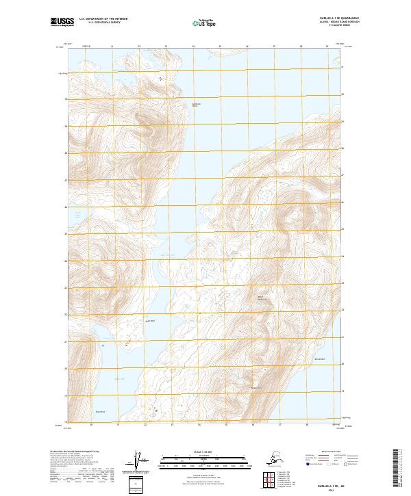
2021 Map of Karluk A-1 SE
USGS Topo · Published 2021About this map
The Olga Narrows form a critical hydraulic constriction on Kodiak Island, separating the inland waters of South Olga Lakes from the tidal influence of Moser Bay. This 2021 survey illustrates the complex coastline of the Moser Peninsula, where elevations rise sharply from the water's edge to the summit of Happys Mtn. The landscape is defined by its maritime hazards and geographic landmarks, including Splitrock Point and Shag Rock, which mark the transition from protected coves like Anchor Cove and Chip Cove to the broader reaches of Stockholm Bay. The arrangement of these features suggests a region shaped by significant glacial carving, resulting in the deep inlets and isolated coastal peaks that dominate the maritime navigation of the area.
Find a feature on this map
18 named features on this map. Tap any name to fly to it.
Don’t see what you’re looking for? This feature index may not catch every label — zoom into the map to look around manually.
Map Details
Editions of this 2021 Karluk A-1 SE Map
This is the sole edition of this map. No revisions or reprints were ever made.
Other maps of this area

1951 · Kaguyak
USGS Topo · 1:250,000

1951 · Trinity Islands
USGS Topo · 1:250,000

1951 · Karluk
USGS Topo · 1:250,000

1952 · Kodiak
USGS Topo · 1:250,000

1952 · Kaguyak
USGS Topo · 1:250,000

1952 · Karluk
USGS Topo · 1:250,000

1952 · Trinity Islands D-1
USGS Topo · 1:63,360

1952 · Karluk A-1
USGS Topo · 1:63,360

1952 · Kaguyak D-6
USGS Topo · 1:63,360

1952 · Kodiak A-6
USGS Topo · 1:63,360