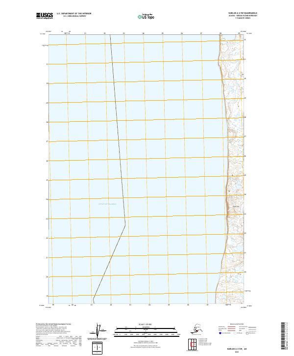
2021 Map of Karluk A-2 SW
USGS Topo · Published 2021About this map
The Gulf of Alaska dominates this coastal survey, where the maritime waters meet the western shores of Kodiak Island. The landscape is defined by its transition from the sea to a narrow coastal strip, punctuated by Ikpik Hill near the eastern margin. This 2021 edition provides a precise look at the township and range system, specifically within t35s r33w, t36s r33w, and t37s r33w, illustrating the modern cadastral framework used to manage these remote Alaskan lands. The map reveals a shoreline characterized by intricate wetlands and small coastal ponds, highlighting the complex drainage patterns typical of this subarctic environment before the terrain rises into the interior highlands.
Find a feature on this map
29 named features on this map. Tap any name to fly to it.
Don’t see what you’re looking for? This feature index may not catch every label — zoom into the map to look around manually.
Map Details
Editions of this 2021 Karluk A-2 SW Map
This is the sole edition of this map. No revisions or reprints were ever made.
Other maps of this area

1951 · Trinity Islands
USGS Topo · 1:250,000

1951 · Karluk
USGS Topo · 1:250,000

1952 · Karluk
USGS Topo · 1:250,000

1952 · Trinity Islands D-2
USGS Topo · 1:63,360

1952 · Karluk A-2
USGS Topo · 1:63,360
1954 · Karluk A-2
USGS Topo · 1:63,360
1954 · Trinity Islands D-2
USGS Topo · 1:63,360

1954 · Trinity Islands
USGS Topo · 1:250,000

1964 · Karluk
USGS Topo · 1:250,000
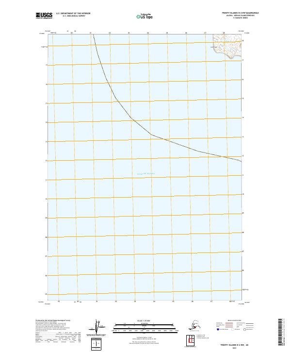
2021 · Trinity Islands D-2 NW
USGS Topo · 1:25,000