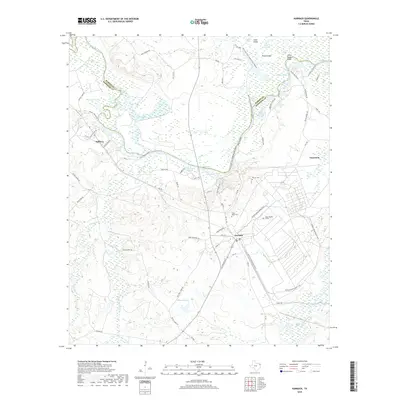
2019 Map of Karnack
USGS Topo · Published 2019About this map
The low-lying wetlands and complex waterways of Big Cypress Bayou dominate this landscape on the border of Marion and Harrison counties. The topography is defined by an intricate network of sloughs, chutes, and brakes, including the distinctive Hells Half Acre and Lone Pine Stretch. In the eastern portion of the map, the settlement of Uncertain sits near the winding banks of the bayou, while the community of Karnack serves as a central hub further inland. This area preserves a legacy of rural life through its family-named landmarks and multiple burial grounds, such as Hayner Cem, Oscar Hope Cem, and Hope Number 2 Cem. These features, alongside Annie Glade Bluff and Stumpy Lake, reflect a region where the seasonal ebb and flow of water has long dictated the patterns of human habitation and navigation.
Find a feature on this map
79 named features on this map. Tap any name to fly to it.
Don’t see what you’re looking for? This feature index may not catch every label — zoom into the map to look around manually.
Map Details
Editions of this 2019 Karnack Map
This is the sole edition of this map. No revisions or reprints were ever made.
Other maps of this area

1944 · Kildare
USGS Topo · 1:62,500

1944 · Caddo Lake
USGS Topo · 1:62,500

1946 · Caddo Lake
USGS Topo · 1:62,500

1948 · Kildare
USGS Topo · 1:62,500

1956 · Tyler
USGS Topo · 1:250,000
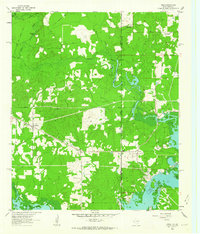
1962 · Trees
USGS Topo · 1:24,000

1962 · Woodlawn
USGS Topo · 1:24,000
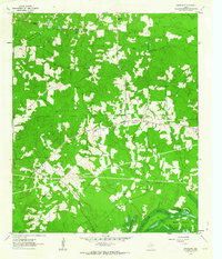
1962 · Smithland
USGS Topo · 1:24,000

1962 · Jefferson
USGS Topo · 1:24,000
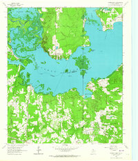
1962 · Potters Point
USGS Topo · 1:24,000