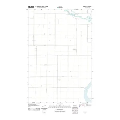
2011 Map of Karnak
USGS Topo · Published 2011About this map
Karnak sits at the heart of this East Central North Dakota landscape, defined by the grid-like precision of rural section roads and the winding course of the Sheyenne River. In the northeast, the river widens into the upper reaches of Lake Ashtabula, a reservoir created by the Baldhill Dam downstream. This transition from flowing river to managed lake is marked by local landmarks like the Cooperstown Camp and the infrastructure of the North Branch Forest River Number 3 Dam. The map reflects the enduring agricultural character of Griggs County, where the topography is structured by a network of numbered avenues and streets, including 115th Ave SE and 9th St SE, which intersect at the small settlement of Karnak. For researchers, it offers a contemporary look at the rural drainage systems and land use patterns that have sustained this prairie region into the 21st century.
Find a feature on this map
22 named features on this map. Tap any name to fly to it.
Don’t see what you’re looking for? This feature index may not catch every label — zoom into the map to look around manually.
Map Details
Editions of this 2011 Karnak Map
This is the sole edition of this map. No revisions or reprints were ever made.
Other maps of this area

1952 · Grand Forks
USGS Topo · 1:250,000

1952 · New Rockford
USGS Topo · 1:250,000

1956 · New Rockford
USGS Topo · 1:250,000

1956 · Grand Forks
USGS Topo · 1:250,000

1961 · Cooperstown East
USGS Topo · 1:24,000

1961 · Hannaford
USGS Topo · 1:24,000

1961 · Cooperstown West
USGS Topo · 1:24,000

1961 · Dazey NE
USGS Topo · 1:24,000

1961 · Dazey
USGS Topo · 1:24,000

1961 · Karnak
USGS Topo · 1:24,000