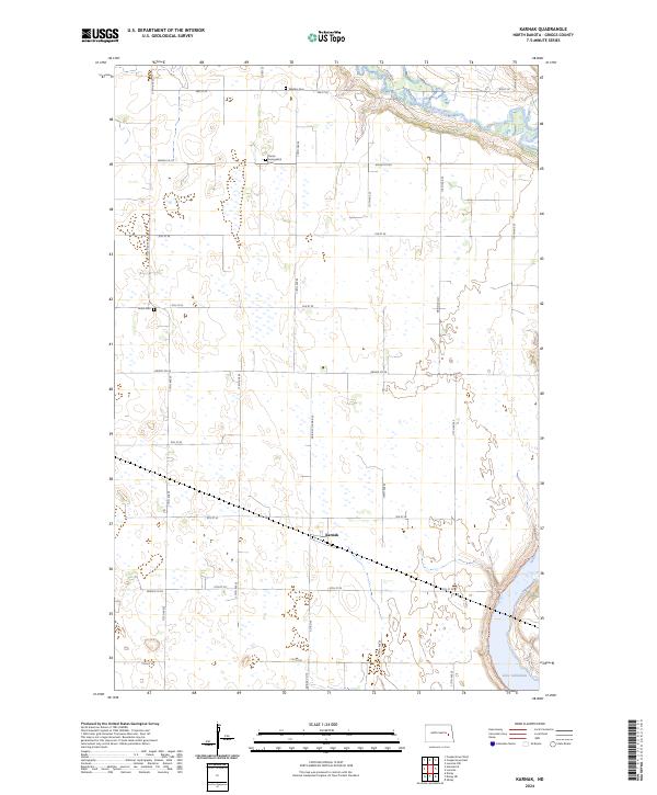
2024 Map of Karnak
USGS Topo · Published 2024About this map
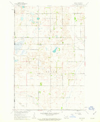
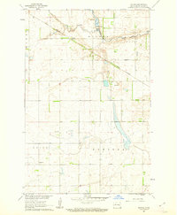
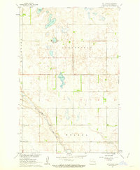
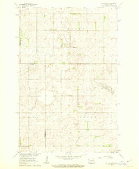
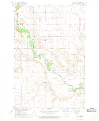
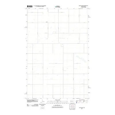
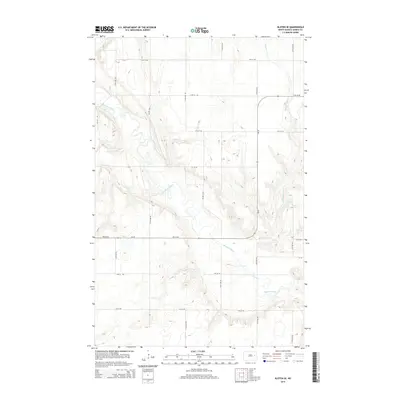
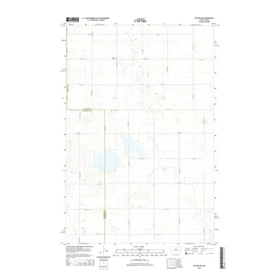
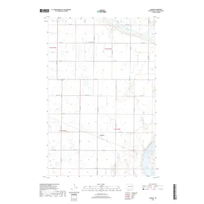
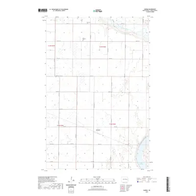
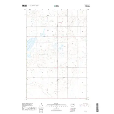
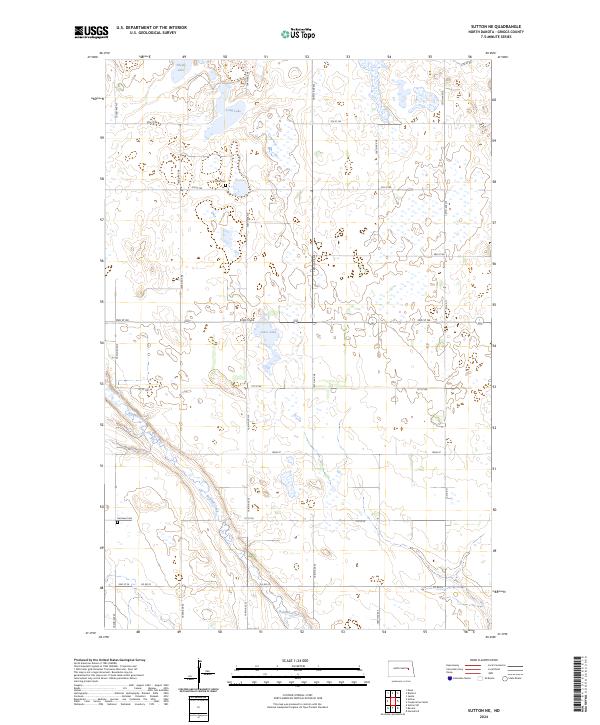
The Sheyenne River meanders across this corner of North Dakota, cutting through the prairie landscape where the waters of Lake Ashtabula emerge in the southeast. This modern survey captures the rural layout of the region, centered on the small settlement of Karnak situated along the intersection of Co Rd 19 and 9th St SE. The map provides significant genealogical value for researchers, noting the location of several historic burial grounds including Union Cem, Westley Cem, and the Saron Evangelical Cem. For outdoorsmen, the North Country National Scenic Trail is clearly delineated as it follows the contours of the river valley. The landscape is marked by a network of county roads like Griggs Co 22 and Griggs Co 26 that connect the isolated farmsteads across the township boundaries of T145N and T144N.
Find a feature on this map
25 named features on this map. Tap any name to fly to it.
Don’t see what you’re looking for? This feature index may not catch every label — zoom into the map to look around manually.
Map Details
Editions of this 2024 Karnak Map
This is the sole edition of this map. No revisions or reprints were ever made.
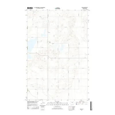
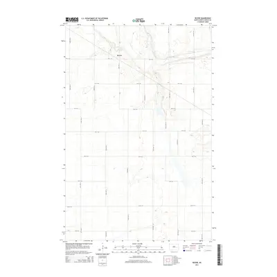
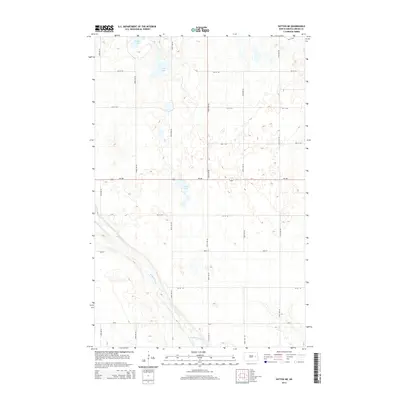
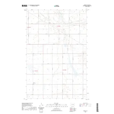
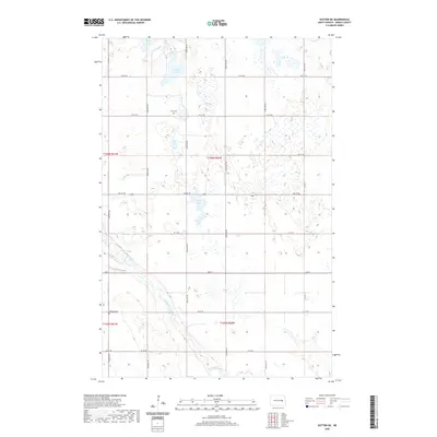
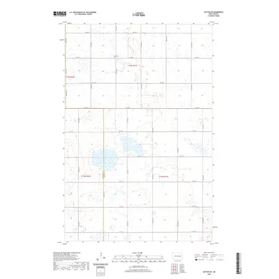
Historical Maps of Karnak Through Time
48 maps found
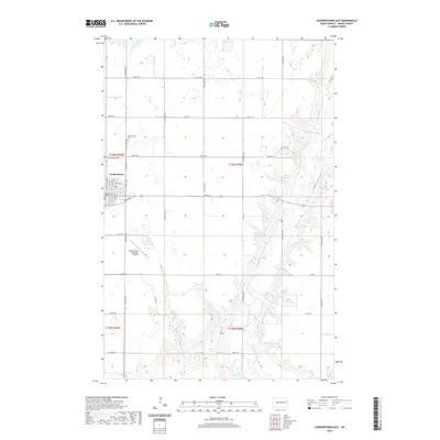
1961 Cooperstown East
Griggs County, ND
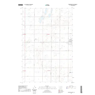
1961 Cooperstown West
Griggs County, ND
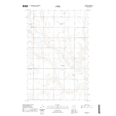
1961 Karnak
Griggs County, ND
1961 Mose
Griggs County, ND
1961 Revere
Griggs County, ND
1961 Sutton NE
Griggs County, ND
1961 Sutton SW
Griggs County, ND
1967 Kloten SE
Griggs County, ND
2011 Cooperstown East
Griggs County, ND
2011 Cooperstown West
Griggs County, ND
2011 Karnak
Griggs County, ND
2011 Kloten SE
Griggs County, ND
2011 Mose
Griggs County, ND
2011 Revere
Griggs County, ND
2011 Sutton NE
Griggs County, ND
2011 Sutton SW
Griggs County, ND
2014 Cooperstown East
Griggs County, ND
2014 Cooperstown West
Griggs County, ND
2014 Karnak
Griggs County, ND
2014 Kloten SE
Griggs County, ND
2014 Mose
Griggs County, ND
2014 Revere
Griggs County, ND
2014 Sutton NE
Griggs County, ND
2014 Sutton SW
Griggs County, ND
2017 Cooperstown East
Griggs County, ND
2017 Cooperstown West
Griggs County, ND

2017 Mose
Griggs County, ND
2017 Revere
Griggs County, ND
2018 Karnak
Griggs County, ND
2018 Kloten SE
Griggs County, ND
2018 Sutton NE
Griggs County, ND
2018 Sutton SW
Griggs County, ND
2020 Cooperstown East
Griggs County, ND
2020 Cooperstown West
Griggs County, ND
2020 Karnak
Griggs County, ND
2020 Kloten SE
Griggs County, ND
2020 Mose
Griggs County, ND
2020 Revere
Griggs County, ND
2020 Sutton NE
Griggs County, ND
2020 Sutton SW
Griggs County, ND
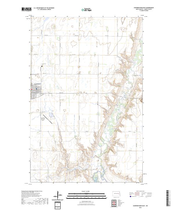
2024 Cooperstown East
Griggs County, ND
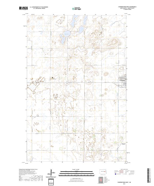
2024 Cooperstown West
Griggs County, ND
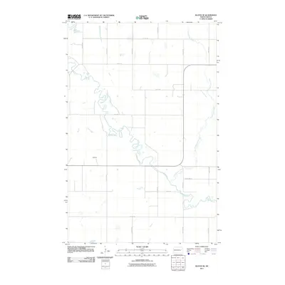
2024 Karnak
Griggs County, ND

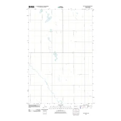
2024 Kloten SE
Griggs County, ND
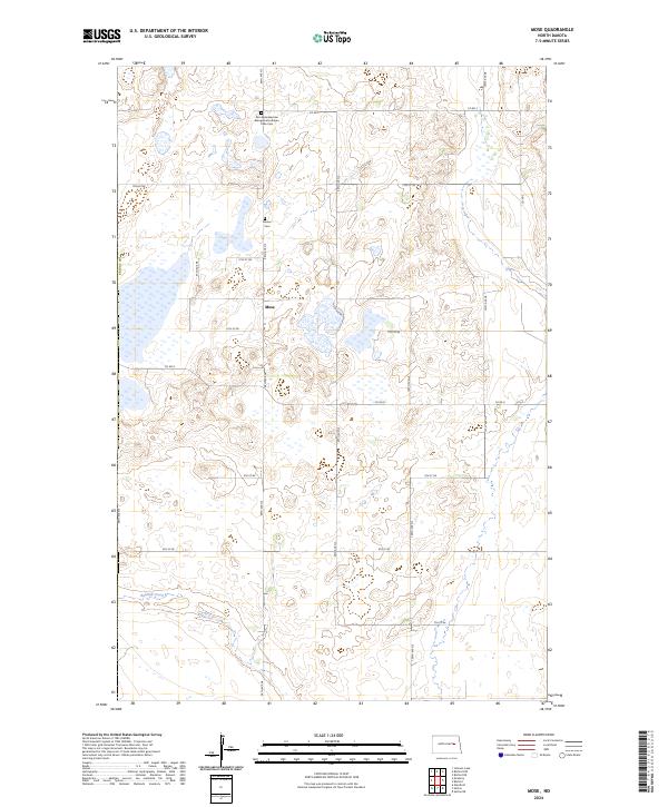
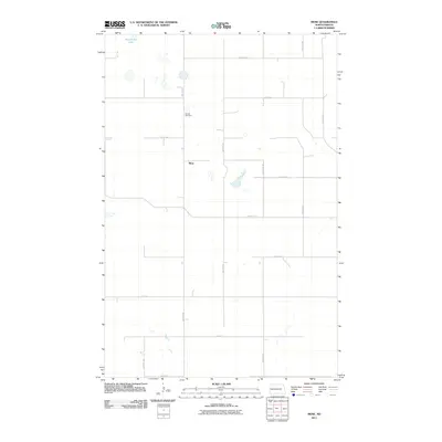
2024 Mose
Griggs County, ND
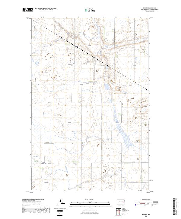
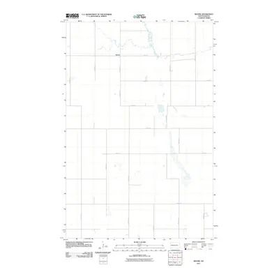
2024 Revere
Griggs County, ND
2024 Sutton NE
Griggs County, ND
2024 Sutton SW
Griggs County, ND