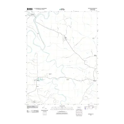
2010 Map of Karthaus
USGS Topo · Published 2010About this map
Karthaus and its surrounding uplands are defined by the winding course of the West Branch Susquehanna River and its confluence with Moshannon Creek. This rural Pennsylvania landscape shows a series of historic clusters, including German Settlement and Cooper Settlement, which suggest early ethnic and family-based land divisions. The transportation history of the region is anchored by the Karthaus Tunnel and a network of roads like Tunnel Rd and German Settlement Rd that navigate the high plateaus. Cultural markers like the Saint Severins Cemetery near Drifting offer significant points for genealogical study, while the Mountain Top Airport sits on the high ground near Moshannon Summit. The map details numerous named waterways such as Sevenmile Run and Black Moshannon Creek, illustrating the complex drainage patterns of this wooded, elevated terrain.
Find a feature on this map
48 named features on this map. Tap any name to fly to it.
Don’t see what you’re looking for? This feature index may not catch every label — zoom into the map to look around manually.
Map Details
Editions of this 2010 Karthaus Map
This is the sole edition of this map. No revisions or reprints were ever made.
Other maps of this area

1908 · Bellefonte
USGS Topo · 1:62,500

1909 · Bellefonte
USGS Topo · 1:62,500

1922 · Philipsburg
USGS Topo · 1:62,500

1928 · Snow Shoe
USGS Topo · 1:48,000

1929 · Karthaus
USGS Topo · 1:62,500

1931 · Show Shoe
USGS Topo · 1:62,500

1932 · Karthaus
USGS Topo · 1:62,500

1939 · Philipsburg
USGS Topo · 1:62,500

1943 · Lewistown
USGS Topo · 1:125,000

1945 · Philipsburg
USGS Topo · 1:62,500