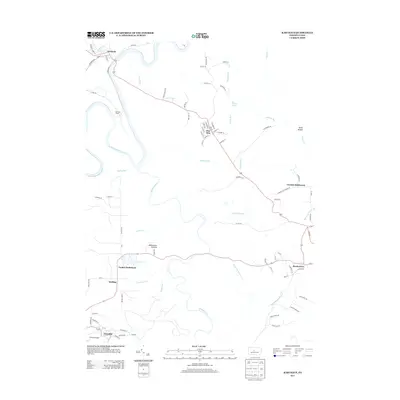
2013 Map of Karthaus
USGS Topo · Published 2013About this map
The W Br Susquehanna River carves a deep loop through the northern reach of this landscape, defining the character of Karthaus and its surrounding drainage systems. The presence of the Karthaus Tunnel near the river bend indicates the engineering required to navigate this portion of the Allegheny Plateau. South of the river, several distinct communities are established along the ridge tops and creek valleys, including the German Settlement and Pine Glen.
Find a feature on this map
85 named features on this map. Tap any name to fly to it.
Don’t see what you’re looking for? This feature index may not catch every label — zoom into the map to look around manually.
Map Details
Editions of this 2013 Karthaus Map
This is the sole edition of this map. No revisions or reprints were ever made.
Other maps of this area

1908 · Bellefonte
USGS Topo · 1:62,500

1909 · Bellefonte
USGS Topo · 1:62,500

1922 · Philipsburg
USGS Topo · 1:62,500

1928 · Snow Shoe
USGS Topo · 1:48,000

1929 · Karthaus
USGS Topo · 1:62,500

1931 · Show Shoe
USGS Topo · 1:62,500

1932 · Karthaus
USGS Topo · 1:62,500

1939 · Philipsburg
USGS Topo · 1:62,500

1943 · Lewistown
USGS Topo · 1:125,000

1945 · Philipsburg
USGS Topo · 1:62,500