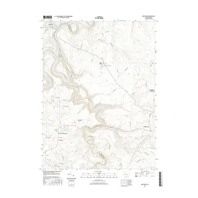
2016 Map of Karthaus
USGS Topo · Published 2016About this map
Karthaus sits at the northern edge of this survey, where the West Branch Susquehanna River bends sharply through the deep valleys of the Allegheny Plateau. The landscape is defined by the winding course of Moshannon Creek, which serves as the boundary between Clearfield and Centre counties. This area is a patchwork of isolated settlements and steep, wooded drainages like Mosquito Creek and Sevenmile Run.
Find a feature on this map
69 named features on this map. Tap any name to fly to it.
Don’t see what you’re looking for? This feature index may not catch every label — zoom into the map to look around manually.
Map Details
Editions of this 2016 Karthaus Map
This is the sole edition of this map. No revisions or reprints were ever made.
Other maps of this area

1908 · Bellefonte
USGS Topo · 1:62,500

1909 · Bellefonte
USGS Topo · 1:62,500

1922 · Philipsburg
USGS Topo · 1:62,500

1928 · Snow Shoe
USGS Topo · 1:48,000

1929 · Karthaus
USGS Topo · 1:62,500

1931 · Show Shoe
USGS Topo · 1:62,500

1932 · Karthaus
USGS Topo · 1:62,500

1939 · Philipsburg
USGS Topo · 1:62,500

1943 · Lewistown
USGS Topo · 1:125,000

1945 · Philipsburg
USGS Topo · 1:62,500