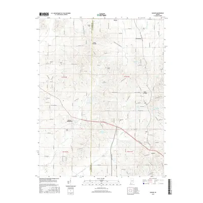
2016 Map of Kasson
USGS Topo · Published 2016About this map
Saint Wendel and Parkers Settlement anchor the rural landscape of this region along the border of Posey and Vanderburgh Counties. The map reveals a high density of local cemeteries and small-scale airfields, including Lockyear Airport and Plugger Airport, which punctuate the agricultural landscape. The terrain is defined by a network of small creeks and ditches, such as Big Cr and Wollenmeyer Ditch, that drain the farm country north of Kasson. Smaller settlements like Saint Joseph and Armstrong are joined by several localized lakes, including Harold Mann Lake and Mater Dei Provincial Lake. This 2016 survey documents the enduring road network and parish-centered communities that have shaped this portion of Indiana for generations, providing an essential record of family-named landmarks and local heritage sites like the Saint Peters Cem.
Find a feature on this map
129 named features on this map. Tap any name to fly to it.
Don’t see what you’re looking for? This feature index may not catch every label — zoom into the map to look around manually.
Map Details
Editions of this 2016 Kasson Map
This is the sole edition of this map. No revisions or reprints were ever made.
Other maps of this area

1901 · Haubstadt
USGS Topo · 1:62,500

1903 · Haubstadt
USGS Topo · 1:62,500

1903 · New Harmony
USGS Topo · 1:62,500

1903 · Patoka
USGS Topo · 1:125,000

1914 · Henderson
USGS Topo · 1:48,000

1916 · Henderson
USGS Topo · 1:62,500

1917 · Uniontown
USGS Topo · 1:62,500

1938 · New Harmony
USGS Topo · 1:62,500

1952 · Evansville
USGS Topo · 1:24,000

1954 · Evansville
USGS Topo · 1:250,000