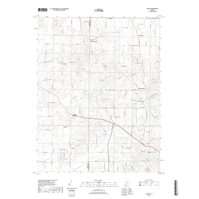
2019 Map of Kasson
USGS Topo · Published 2019About this map
Saint Wendel and Armstrong anchor the northern reaches of this Vanderburgh County landscape, where the border with Posey County divides small rural communities and agricultural tracts. The terrain is defined by a dense network of watercourses, including Barr Cr and Little Cr, which feed into various man-made reservoirs like Mater Dei Provincial Lake and Edgewater Lake. The map reveals a high concentration of small family and community burial sites, such as Higinbottom Cem and Engleheim Cem, which provide significant data points for genealogists tracing regional lineages.
Find a feature on this map
81 named features on this map. Tap any name to fly to it.
Don’t see what you’re looking for? This feature index may not catch every label — zoom into the map to look around manually.
Map Details
Editions of this 2019 Kasson Map
This is the sole edition of this map. No revisions or reprints were ever made.
Other maps of this area

1901 · Haubstadt
USGS Topo · 1:62,500

1903 · Haubstadt
USGS Topo · 1:62,500

1903 · New Harmony
USGS Topo · 1:62,500

1903 · Patoka
USGS Topo · 1:125,000

1914 · Henderson
USGS Topo · 1:48,000

1916 · Henderson
USGS Topo · 1:62,500

1917 · Uniontown
USGS Topo · 1:62,500

1938 · New Harmony
USGS Topo · 1:62,500

1952 · Evansville
USGS Topo · 1:24,000

1954 · Evansville
USGS Topo · 1:250,000