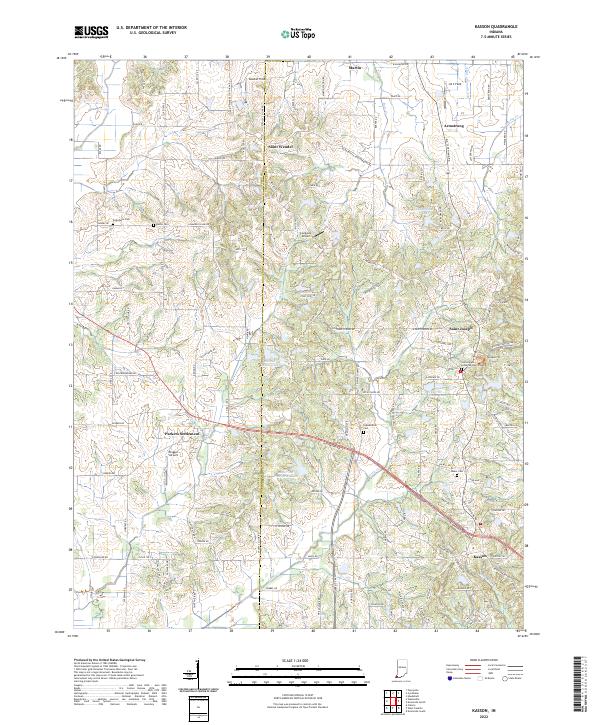
2022 Map of Kasson
USGS Topo · Published 2022About this map
The Posey Co Vanderburgh Co boundary line bisects this region of southwestern Indiana, where small rural communities are connected by a network of county roads. Settlements like Saint Wendel and Armstrong sit in the northern reaches, while Parkers Settlement and Saint Joseph serve as central hubs for the surrounding farmsteads. The landscape is defined by several small bodies of water, including Edgewater Lake and North Estates Lake, which suggest localized residential development or recreational hubs amidst the agricultural fields.
Find a feature on this map
131 named features on this map. Tap any name to fly to it.
Don’t see what you’re looking for? This feature index may not catch every label — zoom into the map to look around manually.
Map Details
Editions of this 2022 Kasson Map
This is the sole edition of this map. No revisions or reprints were ever made.
Other maps of this area

1901 · Haubstadt
USGS Topo · 1:62,500

1903 · Haubstadt
USGS Topo · 1:62,500

1903 · New Harmony
USGS Topo · 1:62,500

1903 · Patoka
USGS Topo · 1:125,000

1914 · Henderson
USGS Topo · 1:48,000

1916 · Henderson
USGS Topo · 1:62,500

1917 · Uniontown
USGS Topo · 1:62,500

1938 · New Harmony
USGS Topo · 1:62,500

1952 · Evansville
USGS Topo · 1:24,000

1954 · Evansville
USGS Topo · 1:250,000