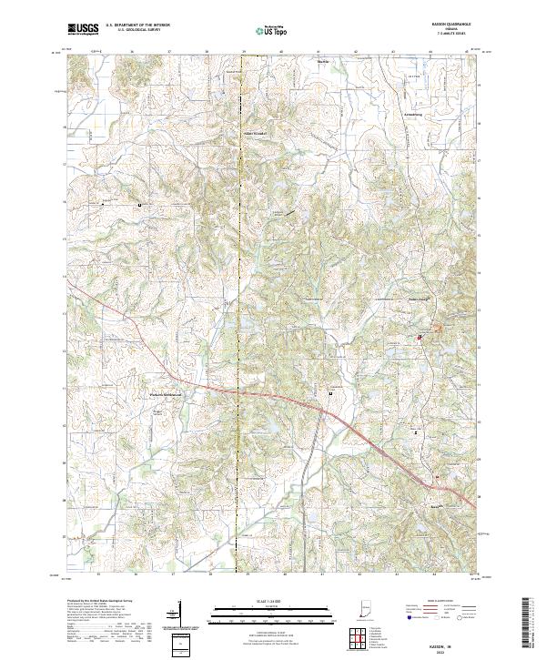
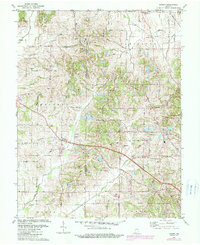
2022 Map of Kasson
USGS Topo · Published 2022This historical map portrays the area of Kasson in 2022, primarily covering Vanderburgh County as well as portions of Posey County. Featuring a scale of 1:24000, this map provides a highly detailed snapshot of the terrain, roads, buildings, counties, and historical landmarks in the Kasson region at the time. Published in 2022, it is the sole known edition of this map.
Map Details
Editions of this 2022 Kasson Map
This is the sole edition of this map. No revisions or reprints were ever made.
Historical Maps of Armstrong Through Time
13 maps found
1957 Evansville South
Vanderburgh County, IN
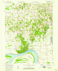
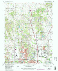
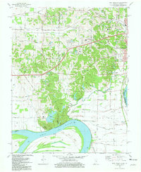
1957 West Franklin
Vanderburgh County, IN
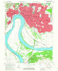
1961 Evansville North
Vanderburgh County, IN
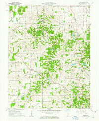
1961 Kasson
Vanderburgh County, IN
1981 Evansville North
Vanderburgh County, IN
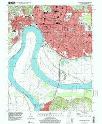
1981 Evansville South
Vanderburgh County, IN
1981 Kasson
Vanderburgh County, IN
1981 West Franklin
Vanderburgh County, IN
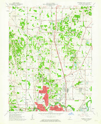
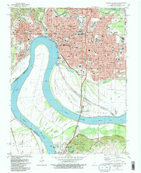
1999 Evansville South
Vanderburgh County, IN
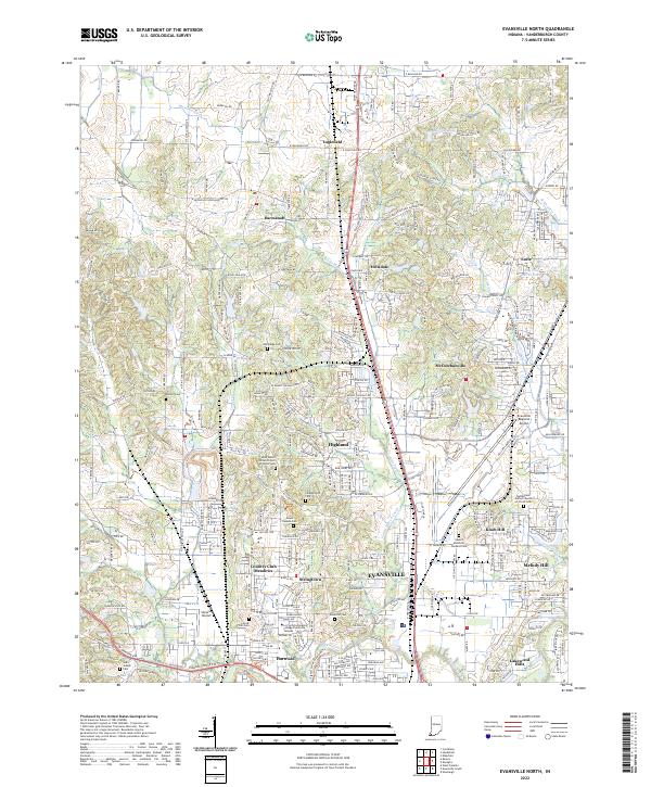
2022 Evansville North
Vanderburgh County, IN
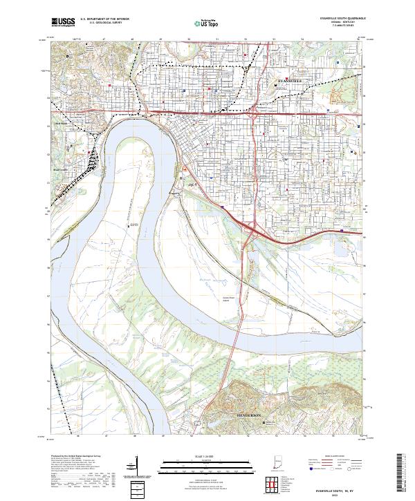
2022 Evansville South
Vanderburgh County, IN
2022 Kasson
Vanderburgh County, IN
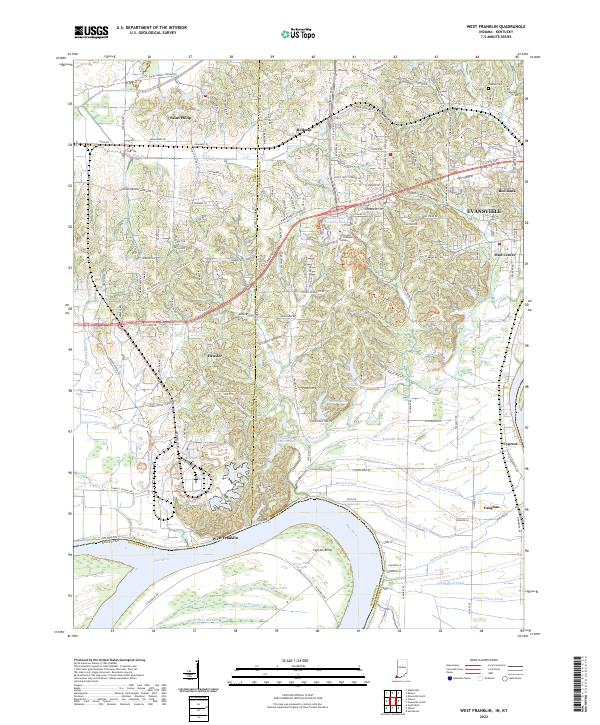
2022 West Franklin
Vanderburgh County, IN