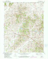
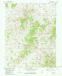
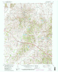
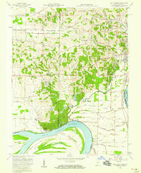
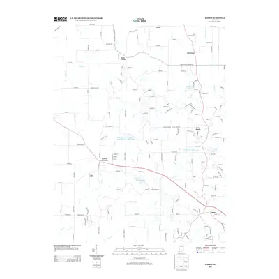
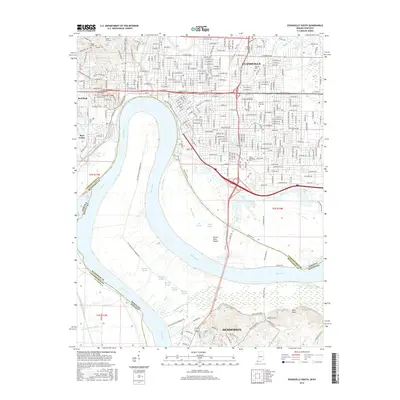
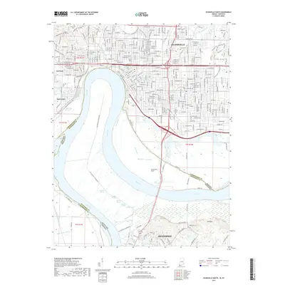
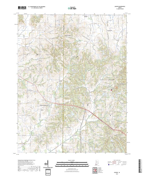
1981 Map of Kasson
USGS Topo · Published 1989About this map
Oil wells and active oil fields are scattered across the rural landscape of southwestern Indiana in this late-twentieth-century study. The area is defined by the intersection of small crossroads settlements and township lines, including Armstrong, Robinson, and German. Community life centers around established landmarks like the Armstrong Recreation Center and the St Peters Ch, while the agricultural character of the region is punctuated by numerous family and church burial grounds such as Kunz Cem and Engleheim Cem.
Find a feature on this map
47 named features on this map. Tap any name to fly to it.
Don’t see what you’re looking for? This feature index may not catch every label — zoom into the map to look around manually.
Map Details
Editions of this 1981 Kasson Map
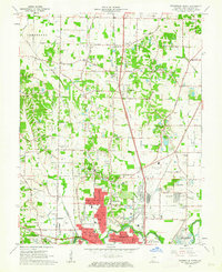
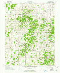
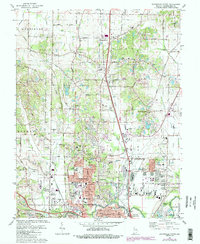
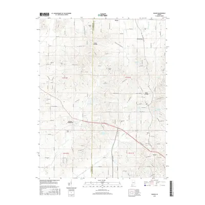
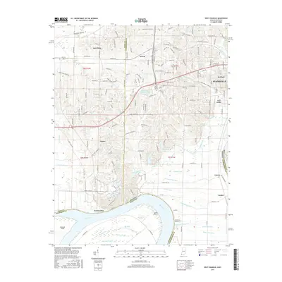
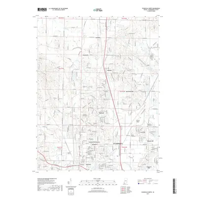
Historical Maps of Armstrong Through Time
29 maps found
1957 Evansville South
Vanderburgh County, IN
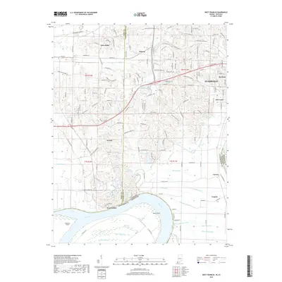
1957 West Franklin
Vanderburgh County, IN
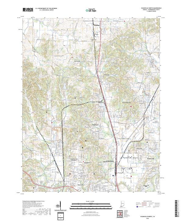
1961 Evansville North
Vanderburgh County, IN
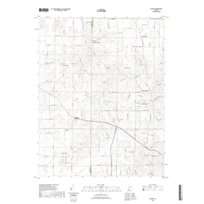
1961 Kasson
Vanderburgh County, IN
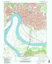
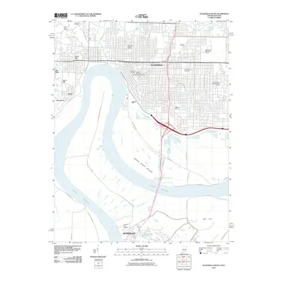
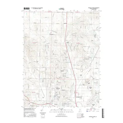
1981 Evansville North
Vanderburgh County, IN
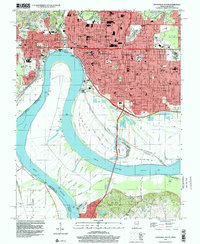
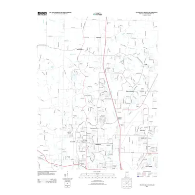
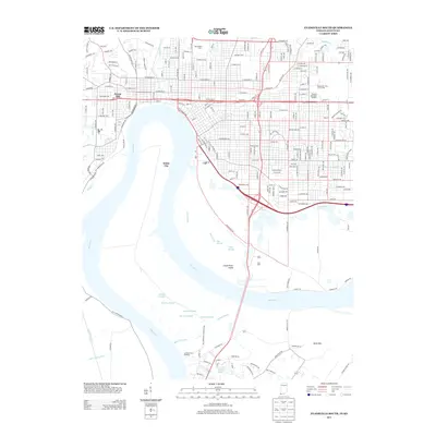
1981 Evansville South
Vanderburgh County, IN
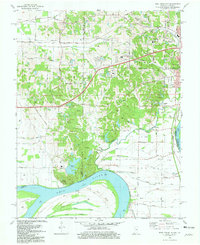
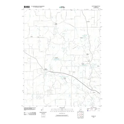
1981 Kasson
Vanderburgh County, IN
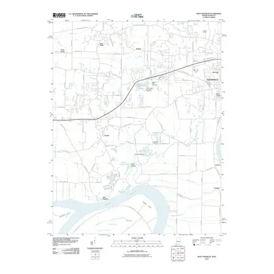
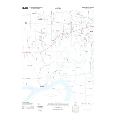
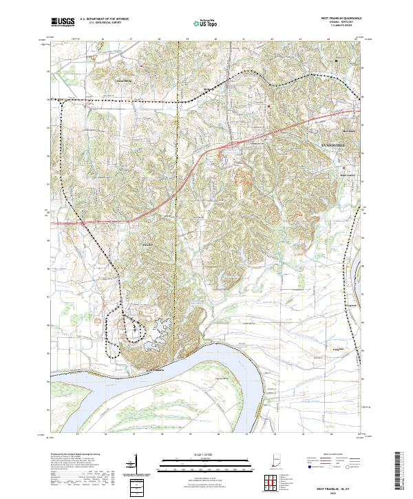
1981 West Franklin
Vanderburgh County, IN
1999 Evansville South
Vanderburgh County, IN
2010 Evansville North
Vanderburgh County, IN
2010 Evansville South
Vanderburgh County, IN
2010 Kasson
Vanderburgh County, IN
2010 West Franklin
Vanderburgh County, IN
2013 Evansville North
Vanderburgh County, IN
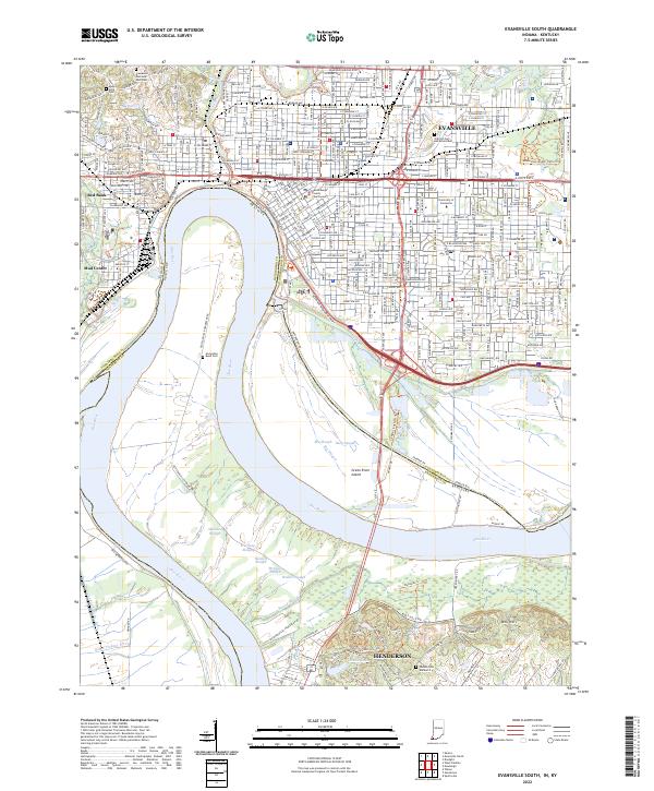
2013 Evansville South
Vanderburgh County, IN
2013 Kasson
Vanderburgh County, IN
2013 West Franklin
Vanderburgh County, IN
2016 Evansville North
Vanderburgh County, IN
2016 Evansville South
Vanderburgh County, IN
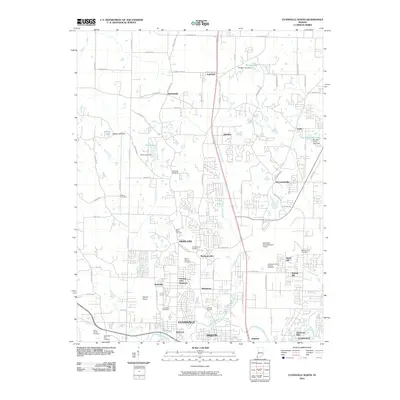
2016 Kasson
Vanderburgh County, IN
2016 West Franklin
Vanderburgh County, IN
2019 Evansville North
Vanderburgh County, IN
2019 Evansville South
Vanderburgh County, IN
2019 Kasson
Vanderburgh County, IN
2019 West Franklin
Vanderburgh County, IN
2022 Evansville North
Vanderburgh County, IN
2022 Evansville South
Vanderburgh County, IN
2022 Kasson
Vanderburgh County, IN
2022 West Franklin
Vanderburgh County, IN