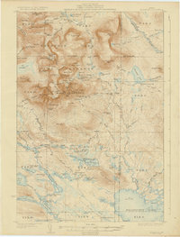
1930 Map of Katahdin
USGS Topo · Published 1930About this map
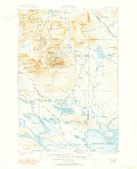
Mount Katahdin towers over this landscape in Piscataquis County, defined by the Katahdin Park Monument Line and the early boundaries of a Game Preserve. This 1927 survey documents the era when backcountry access relied on a network of remote sporting camps and rugged paths like the Hunt Trail and Abol Trail. Along the mountain's dramatic east face, the topography reveals the Great Basin, the sharp Knife Edge, and Pamola peak. Lower elevations are dotted with seasonal outposts such as Katahdin Lake Camp, Abol Camp, and Sewell Camp, reflecting the region's early 20th-century character as a destination for woodsmen and pioneers. Further south, Pitmans Garage and Togue Pond Camp mark the transition toward the developing road system near the Piscataquis and Penobscot county line.
Find a feature on this map
135 named features on this map. Tap any name to fly to it.
Don’t see what you’re looking for? This feature index may not catch every label — zoom into the map to look around manually.
Map Details
Editions of this 1930 Katahdin Map
6 editions found
Other maps of this area

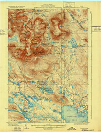
1927 · Katahdin
USGS Topo · 1:48,000

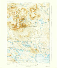
1930 · Katahdin
USGS Topo · 1:62,500

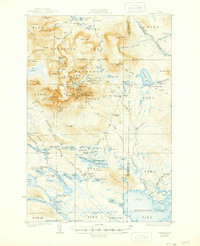
1949 · Katahdin
USGS Topo · 1:62,500

1951 · Norcross
USGS Topo · 1:62,500

1951 · Millinocket
USGS Topo · 1:62,500

1952 · Jo-Mary Mountain
USGS Topo · 1:62,500

1953 · Telos Lake
USGS Topo · 1:62,500

1953 · Stacyville
USGS Topo · 1:62,500

1954 · Harrington Lake
USGS Topo · 1:62,500

1954 · Shin Pond
USGS Topo · 1:62,500