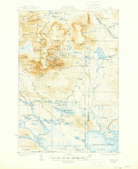
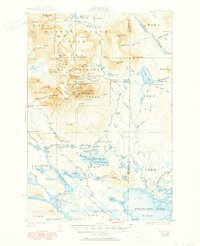
1930 Map of Katahdin
USGS Topo · Published 1944About this map
Mount Katahdin towers over this survey, revealing the early 20th-century landscape of the Maine woods before its modern protected status was fully realized. The transition of the land is evident in the overlapping boundaries of Baxter State Game Preserve and Baxter State Park, reflecting the early conservation efforts of the 1920s. The map captures a high-altitude wilderness defined by the jagged Knife Edge and deep depressions like North Basin and Great Basin.
Find a feature on this map
144 named features on this map. Tap any name to fly to it.
Don’t see what you’re looking for? This feature index may not catch every label — zoom into the map to look around manually.
Map Details
Editions of this 1930 Katahdin Map
6 editions found
Other maps of this area

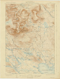
1927 · Katahdin
USGS Topo · 1:48,000

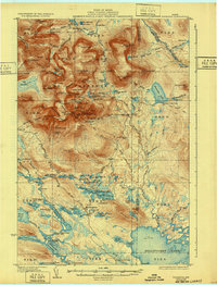
1930 · Katahdin
USGS Topo · 1:62,500

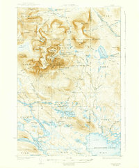
1949 · Katahdin
USGS Topo · 1:62,500

1951 · Norcross
USGS Topo · 1:62,500

1951 · Millinocket
USGS Topo · 1:62,500

1952 · Jo-Mary Mountain
USGS Topo · 1:62,500

1953 · Telos Lake
USGS Topo · 1:62,500

1953 · Stacyville
USGS Topo · 1:62,500

1954 · Harrington Lake
USGS Topo · 1:62,500

1954 · Shin Pond
USGS Topo · 1:62,500