
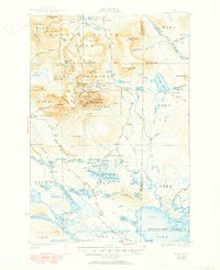
1930 Map of Katahdin
USGS Topo · Published 1930About this map
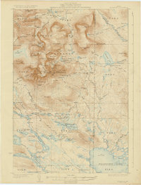
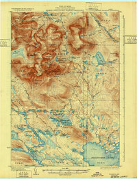
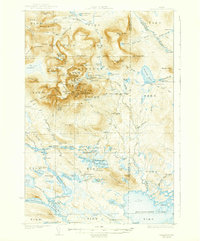
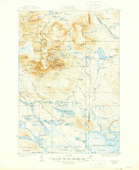
Mount Katahdin dominates this Maine landscape, serving as the central anchor for a network of wilderness camps and primitive trails surveyed in the late 1920s. The map documents a rugged era of backcountry travel, where sites like Katahdin Lake Camp and Sewell Camp provided essential shelter for hikers and forest workers. The high-altitude terrain is characterized by the Great Basin and the narrow Knife Edge, while the Game Preserve designation reflects early 20th-century conservation efforts in the region.
Find a feature on this map
150 named features on this map. Tap any name to fly to it.
Don’t see what you’re looking for? This feature index may not catch every label — zoom into the map to look around manually.
Map Details
Editions of this 1930 Katahdin Map
6 editions found
Other maps of this area

1927 · Katahdin
USGS Topo · 1:48,000

1949 · Katahdin
USGS Topo · 1:62,500

1951 · Norcross
USGS Topo · 1:62,500

1951 · Millinocket
USGS Topo · 1:62,500

1952 · Jo-Mary Mountain
USGS Topo · 1:62,500

1953 · Telos Lake
USGS Topo · 1:62,500

1953 · Stacyville
USGS Topo · 1:62,500

1954 · Harrington Lake
USGS Topo · 1:62,500

1954 · Shin Pond
USGS Topo · 1:62,500

1954 · Presque Isle
USGS Topo · 1:250,000