Loading...
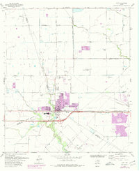
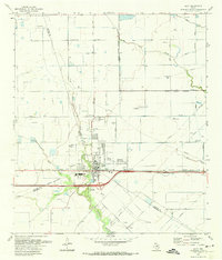
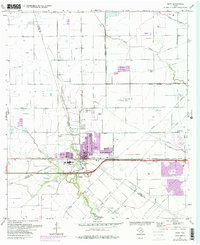
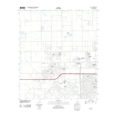
Loading map...1971 Map of Katy
USGS Topo · Published 1980About this map
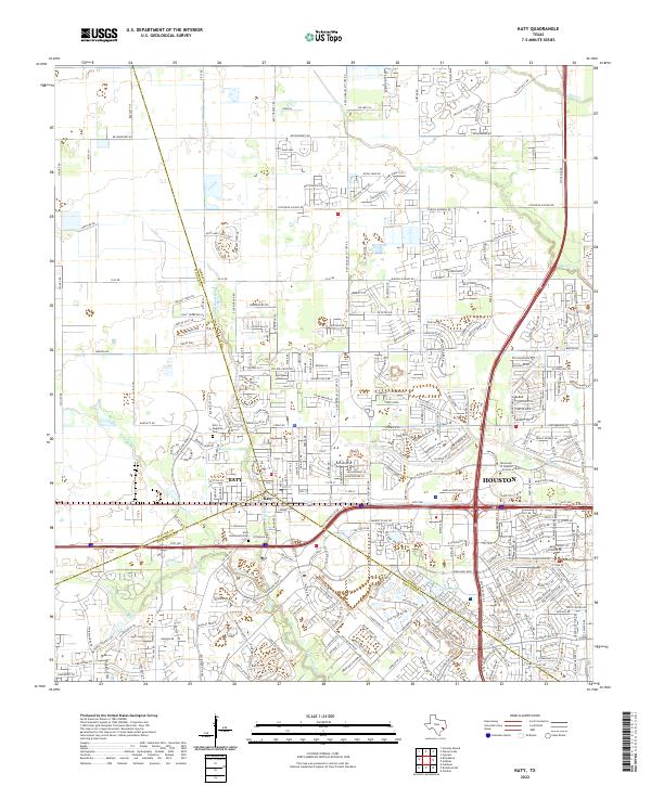
The town of Katy serves as the hub of this 1970s landscape, positioned where the Missouri Kansas Texas railroad cuts through the prairie. The map captures a period of transition, showing the early suburban footprint of modern Katy alongside established landmarks like Odessa Kilpatrick Sch and the Magnolia Cem. Outside the emerging residential blocks, the area is defined by the vast Katy Gas Field, marked by numerous wells and pipelines that crisscross the terrain toward the Houston corporate boundaries to the east.
Find a feature on this map
31 named features on this map. Tap any name to fly to it.
Don’t see what you’re looking for? This feature index may not catch every label — zoom into the map to look around manually.
Map Details
Date Portrayed1971
Date Published1980
PublisherU.S. Geological Survey
Map TypeTopographic
Scale1:24,000
Physical Dimensions22.2 x 27.2 inches
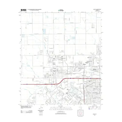
Editions of this 1971 Katy Map
3 editions found
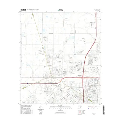
Historical Maps of Houston Through Time
7 maps found
Featured Locations
Source Details
SourceU.S. Geological Survey
CopyrightPublic Domain