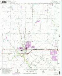
1971 Map of Katy
USGS Topo · Published 1980About this map
The growing town of Katy serves as the focal point of this survey, positioned at the convergence of Harris, Waller, and Fort Bend counties. Updated in the late 1970s, the map reveals a transition from a rural agricultural landscape toward suburban expansion, with purple-tinted urban extensions encroaching upon former fields. Local institutional life is anchored by the High Sch, Jr High Sch, and Odessa Kilpatrick Sch, while the historic Magnolia Cem and another Cem reflect the area's established roots.
Find a feature on this map
37 named features on this map. Tap any name to fly to it.
Don’t see what you’re looking for? This feature index may not catch every label — zoom into the map to look around manually.
Map Details
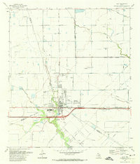
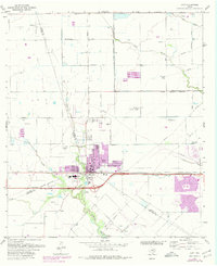
Editions of this 1971 Katy Map
3 editions found
Other maps of this area

1915 · Cypress
USGS Topo · 1:24,000

1915 · Katy
USGS Topo · 1:24,000

1915 · Addicks
USGS Topo · 1:24,000

1915 · Clodine
USGS Topo · 1:24,000

1916 · Swanson
USGS Topo · 1:24,000

1918 · Cypress
USGS Topo · 1:31,680

1918 · Addicks
USGS Topo · 1:31,680

1919 · Clodine
USGS Topo · 1:31,680

1919 · Swanson
USGS Topo · 1:31,680

1950 · Houston
USGS Topo · 1:250,000