1971 Map of Katy
USGS Topo · Published 1974About this map
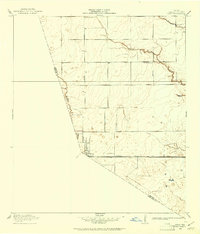
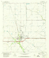
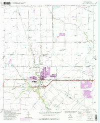
Katy serves as the central hub of this 1971 survey, positioned where the Missouri Kansas Texas railroad bisects a landscape defined by an extensive Oil and Gas Field. The map captures a moment of transition as infrastructure like the Katy Hockley Cutoff and several Landing Strips appear alongside established rural landmarks. Waterways such as Cane Island Branch, Buffalo Bayou, and Snake Creek drain the surrounding prairie, which is partitioned by a strictly gridded road system including Hockley Road and Stockdick Road. Local history is preserved through the locations of the Magnolia Cem, the Odessa Kilpatrick Sch, and the small settlement of Beckendorf to the north. The presence of numerous pumping stations and radio towers highlights the industrial expansion into the coastal plains west of Houston.
Find a feature on this map
32 named features on this map. Tap any name to fly to it.
Don’t see what you’re looking for? This feature index may not catch every label — zoom into the map to look around manually.
Map Details
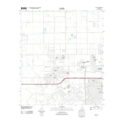
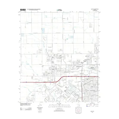
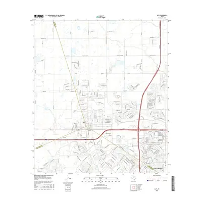
Editions of this 1971 Katy Map
3 editions found
Historical Maps of Houston Through Time
7 maps found