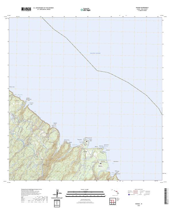
2024 Map of Keanae
USGS Topo · Published 2024About this map
The Ke'anae Peninsula extends into the Pacific Ocean on the windward coast of Maui, anchoring a landscape where deep valleys and complex water systems define human settlement. This modern survey illustrates the coastal villages of Ke'anae and Wailua, where the historic Keanae Congregational Church and Saint Gabriels Catholic Church serve as local landmarks. The area is characterized by its dramatic hydrology, featuring numerous streams like Waikamoi Stream and Honomanu Stream that carve through the volcanic terrain toward the sea. The map reveals the intricate engineering of the Ko'olau Ditch and Manuel Luis Ditch, which redirect water along the mountain slopes. These systems, alongside the Ke'anae Arboretum, demonstrate the long-standing management of the island's natural resources and the preservation of its distinctive environmental character near Waiokilo Falls.
Find a feature on this map
78 named features on this map. Tap any name to fly to it.
Don’t see what you’re looking for? This feature index may not catch every label — zoom into the map to look around manually.
Map Details
Editions of this 2024 Keanae Map
This is the sole edition of this map. No revisions or reprints were ever made.
Other maps of this area

1954 · Maui
USGS Topo · 1:250,000

1957 · Kilohana
USGS Topo · 1:24,000

1957 · Hana
USGS Topo · 1:24,000

1957 · Haiku
USGS Topo · 1:24,000

1957 · Nahiku
USGS Topo · 1:24,000

1957 · Keanae
USGS Topo · 1:24,000

1966 · Maui
USGS Topo · 1:250,000

1974 · Maui
USGS Topo · 1:250,000

1978 · Hana
USGS Topo · 1:24,000

1983 · Nahiku
USGS Topo · 1:24,000