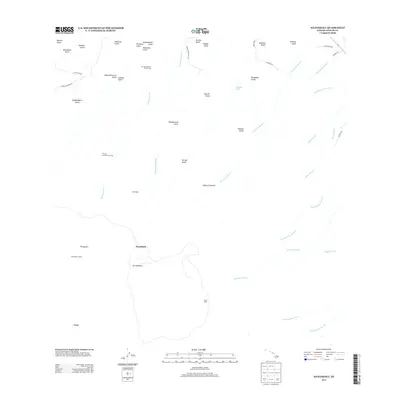
2013 Map of Keanakolu
USGS Topo · Published 2013About this map
Keanakolu serves as the central focal point for this section of the Island of Hawai'i, characterized by a network of steep gulches and ephemeral streams that define the windward slopes. The area is marked by several high-elevation camps, including Pu'uloa Number Two Camp, Pu'uloa Number Three Camp, and the remote Shack Camp, suggesting a legacy of ranching or forestry activities at the turn of the 21st century. The landscape is deeply incised by drainages such as Koholalele Gulch and Laupahoehoe Stream, which carry runoff toward the coast. Significant local infrastructure is limited to rugged tracks like Niupea Homestead Rd and Mauna Kea Ranch Rd, providing access through terrain featuring landmarks like Po'opua'a and the Paeoopu Pool.
Find a feature on this map
50 named features on this map. Tap any name to fly to it.
Don’t see what you’re looking for? This feature index may not catch every label — zoom into the map to look around manually.
Map Details
Editions of this 2013 Keanakolu Map
This is the sole edition of this map. No revisions or reprints were ever made.
Other maps of this area

1915 · Hamakua
USGS Topo · 1:62,500

1915 · Honomu
USGS Topo · 1:62,500

1954 · Hawaii North
USGS Topo · 1:250,000

1956 · Pua Akala
USGS Topo · 1:24,000

1956 · Keanakolu
USGS Topo · 1:24,000

1956 · Mauna Kea
USGS Topo · 1:24,000

1956 · Umikoa
USGS Topo · 1:24,000

1957 · Kukaiau
USGS Topo · 1:24,000

1957 · Honokaa
USGS Topo · 1:24,000

1959 · Hawaii North
USGS Topo · 1:250,000