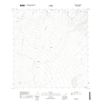
2017 Map of Keanakolu
USGS Topo · Published 2017About this map
Keanakolu sits at the center of this high-elevation landscape on the slopes of Mauna Kea, where the island's drainage patterns are clearly defined by a dense network of gulches and streams. The map reveals a transition from ranching lands, indicated by Mauna Kea Ranch Rd and Mana Rd, to the complex topography of volcanic features like Nanamauna Cone and the summit of Kālepa.
Find a feature on this map
40 named features on this map. Tap any name to fly to it.
Don’t see what you’re looking for? This feature index may not catch every label — zoom into the map to look around manually.
Map Details
Editions of this 2017 Keanakolu Map
This is the sole edition of this map. No revisions or reprints were ever made.
Other maps of this area

1915 · Hamakua
USGS Topo · 1:62,500

1915 · Honomu
USGS Topo · 1:62,500

1954 · Hawaii North
USGS Topo · 1:250,000

1956 · Pua Akala
USGS Topo · 1:24,000

1956 · Keanakolu
USGS Topo · 1:24,000

1956 · Mauna Kea
USGS Topo · 1:24,000

1956 · Umikoa
USGS Topo · 1:24,000

1957 · Kukaiau
USGS Topo · 1:24,000

1957 · Honokaa
USGS Topo · 1:24,000

1959 · Hawaii North
USGS Topo · 1:250,000