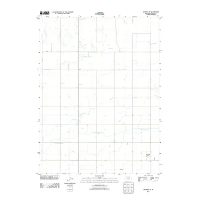
2011 Map of Kearney SE
USGS Topo · Published 2011About this map
Phelps County Canal cuts an engineered path across this agricultural landscape in Kearney County, defining the local irrigation infrastructure of the early 21st century. The terrain is characterized by a high density of intermittent watercourses, including the various branches of Lost Creek, Dry Creek, and North Dry Creek, which weave between a strictly gridded system of rural section roads. This network of thoroughfares, such as M Rd, N Rd, and 28 Rd, facilitates the movement of goods and equipment across the plains. In the southeast corner of the map, Cavanaugh Airport represents a small but significant node of local transport. The map also shows Crooked Creek entering from the north, illustrating how natural drainage patterns persist even as human engineering such as the canal and the road grid have reordered the surrounding countryside for production.
Find a feature on this map
21 named features on this map. Tap any name to fly to it.
Don’t see what you’re looking for? This feature index may not catch every label — zoom into the map to look around manually.
Map Details
Editions of this 2011 Kearney SE Map
This is the sole edition of this map. No revisions or reprints were ever made.
Other maps of this area

1894 · Kearney
USGS Topo · 1:62,500

1894 · Minden
USGS Topo · 1:62,500

1896 · Holdrege
USGS Topo · 1:125,000

1896 · Kearney
USGS Topo · 1:125,000

1896 · Wood River
USGS Topo · 1:125,000

1897 · Red Cloud
USGS Topo · 1:125,000

1955 · Grand Island
USGS Topo · 1:250,000

1957 · Grand Island
USGS Topo · 1:250,000

1958 · Grand Island
USGS Topo · 1:250,000

1962 · Newark
USGS Topo · 1:24,000