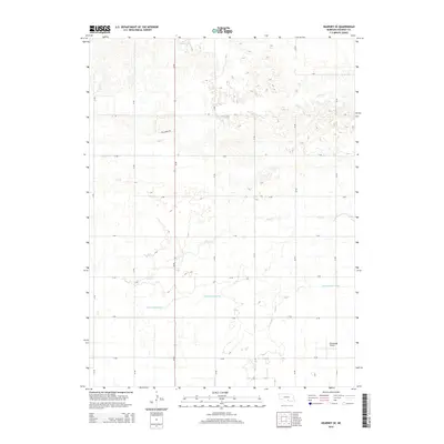
2014 Map of Kearney SE
USGS Topo · Published 2014About this map
Agricultural irrigation and a rural transport grid define this part of the Nebraska landscape, where the Phelps County Canal cuts across the southern portion of the territory. This vital waterway supports the surrounding farmsteads that are organized by a strict geometric road system, including Links Ridge Rd and a series of numbered routes such as 25 Rd. Natural drainage follows the meandering paths of Lost Cr and Dry Cr, which contrast with the engineered lines of the canal. In the southeast, the Cavanaugh Airport serves as a distinct landmark for local aviation, while the northern reaches are marked by the headwaters of Crooked Cr. This survey illustrates the mid-2010s balance between the region's natural hydrography and the infrastructure necessary for modern prairie life.
Find a feature on this map
21 named features on this map. Tap any name to fly to it.
Don’t see what you’re looking for? This feature index may not catch every label — zoom into the map to look around manually.
Map Details
Editions of this 2014 Kearney SE Map
This is the sole edition of this map. No revisions or reprints were ever made.
Other maps of this area

1894 · Kearney
USGS Topo · 1:62,500

1894 · Minden
USGS Topo · 1:62,500

1896 · Holdrege
USGS Topo · 1:125,000

1896 · Kearney
USGS Topo · 1:125,000

1896 · Wood River
USGS Topo · 1:125,000

1897 · Red Cloud
USGS Topo · 1:125,000

1955 · Grand Island
USGS Topo · 1:250,000

1957 · Grand Island
USGS Topo · 1:250,000

1958 · Grand Island
USGS Topo · 1:250,000

1962 · Newark
USGS Topo · 1:24,000