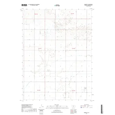
2017 Map of Kearney SE
USGS Topo · Published 2017About this map
Phelps County Canal cuts through the southwestern corner of this landscape, representing the vital irrigation infrastructure of Nebraska's agricultural plains. This 2017 survey reveals a highly organized township and range system, where a precise grid of rural routes like Links Ridge Rd and lettered roads define the territory between the seasonal watercourses of Lost Cr and Dry Cr. The presence of the Cavanaugh Airport in the southeastern quadrant serves as a modern waypoint in an otherwise rural expanse, showing how aviation and mechanized farming have shaped the recent history of Kearney County. The terrain is characterized by subtle elevation shifts and the intricate drainage patterns of intermittent creeks that feed into the larger regional watershed.
Find a feature on this map
19 named features on this map. Tap any name to fly to it.
Don’t see what you’re looking for? This feature index may not catch every label — zoom into the map to look around manually.
Map Details
Editions of this 2017 Kearney SE Map
This is the sole edition of this map. No revisions or reprints were ever made.
Other maps of this area

1894 · Kearney
USGS Topo · 1:62,500

1894 · Minden
USGS Topo · 1:62,500

1896 · Holdrege
USGS Topo · 1:125,000

1896 · Kearney
USGS Topo · 1:125,000

1896 · Wood River
USGS Topo · 1:125,000

1897 · Red Cloud
USGS Topo · 1:125,000

1955 · Grand Island
USGS Topo · 1:250,000

1957 · Grand Island
USGS Topo · 1:250,000

1958 · Grand Island
USGS Topo · 1:250,000

1962 · Newark
USGS Topo · 1:24,000