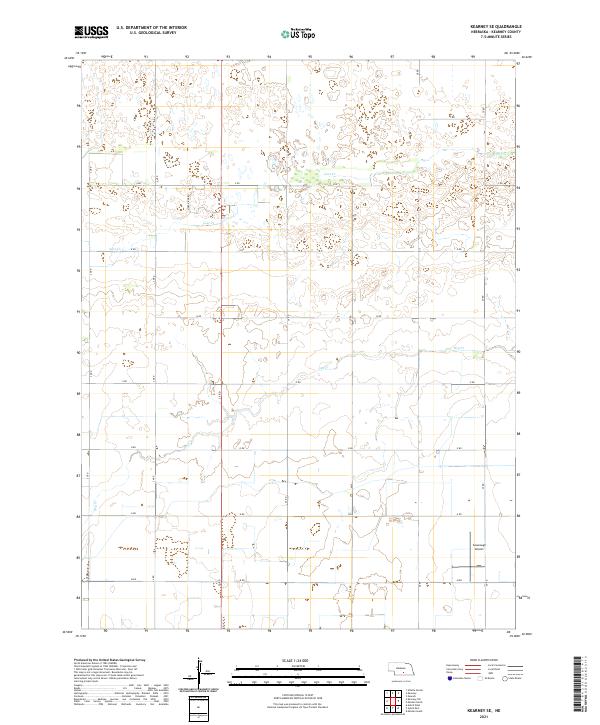
2021 Map of Kearney SE
USGS Topo · Published 2021About this map
Lost Cr and Dry Cr weave through the agricultural landscape southeast of Kearney, Nebraska. The terrain is organized by a precise grid of rural routes, including family-named and numbered roads like Links Ridge Rd and 25 RD. This layout reflects the long-standing Public Land Survey System divisions that have defined the Kearney County plains since the nineteenth century. Near the southern edge of the survey, Cavanaugh Airport serves as a small aviation landmark in a region dominated by extensive section-line farming. The network of roads such as P RD and M RD illustrates the continued importance of organized transportation corridors for the local farming economy in the modern era.
Find a feature on this map
25 named features on this map. Tap any name to fly to it.
Don’t see what you’re looking for? This feature index may not catch every label — zoom into the map to look around manually.
Map Details
Editions of this 2021 Kearney SE Map
This is the sole edition of this map. No revisions or reprints were ever made.
Other maps of this area

1894 · Kearney
USGS Topo · 1:62,500

1894 · Minden
USGS Topo · 1:62,500

1896 · Holdrege
USGS Topo · 1:125,000

1896 · Kearney
USGS Topo · 1:125,000

1896 · Wood River
USGS Topo · 1:125,000

1897 · Red Cloud
USGS Topo · 1:125,000

1955 · Grand Island
USGS Topo · 1:250,000

1957 · Grand Island
USGS Topo · 1:250,000

1958 · Grand Island
USGS Topo · 1:250,000

1962 · Newark
USGS Topo · 1:24,000