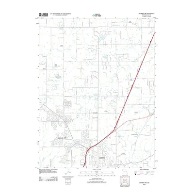
2012 Map of Kearney SW
USGS Topo · Published 2012About this map
The suburban expansion of Kansas City and Liberty meets the rural Missouri landscape in this detail-rich map. The area is defined by the winding course of the Fishing River and its many tributaries, including Brushy Creek and Rush Creek, which flow through a region punctuated by small historical clusters like Roosterville and Ectonville. Genealogists will find exceptional value in the density of burial grounds shown here, ranging from the Old Providence Cemetery and Pickett Cemetery in the central township to the Soper Cemetery in the north. The landscape also reflects the local aviation and leisure history of Clay County, featuring the Kitty Hawk Estates Airport and Liberty Airport, alongside recreational spaces like the Claycrest Golf Course and the historical recreations at Pioneer Village.
Find a feature on this map
108 named features on this map. Tap any name to fly to it.
Don’t see what you’re looking for? This feature index may not catch every label — zoom into the map to look around manually.
Map Details
Editions of this 2012 Kearney SW Map
This is the sole edition of this map. No revisions or reprints were ever made.
Other maps of this area

1890 · Kansas City
USGS Topo · 1:125,000

1894 · Kansas City
USGS Topo · 1:125,000

1894 · Independence
USGS Topo · 1:125,000

1914 · Smithville
USGS Topo · 1:62,500

1935 · Missouri City
USGS Topo · 1:24,000

1935 · North Kansas City
USGS Topo · 1:24,000

1935 · Liberty
USGS Topo · 1:24,000

1936 · Kearney
USGS Topo · 1:48,000

1940 · Liberty
USGS Topo · 1:31,680
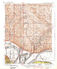
1940 · North Kansas City
USGS Topo · 1:31,680