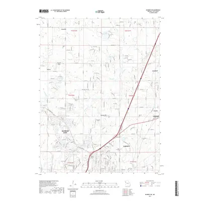
2017 Map of Kearney SW
USGS Topo · Published 2017About this map
Fishing River and its tributaries, including Brushy Cr and Rock Cr, carve through the rolling landscape between the growing outskirts of Kansas City and Liberty. This recent survey illustrates a transition from established rural settlements like Ectonville and Roosterville toward suburban expansion, though significant family and community landmarks remain preserved. Numerous burial grounds, including the Old Providence Cem, Watkins Cem, and Soper Cem, provide essential data points for local genealogists tracing family histories in Clay County.
Find a feature on this map
183 named features on this map. Tap any name to fly to it.
Don’t see what you’re looking for? This feature index may not catch every label — zoom into the map to look around manually.
Map Details
Editions of this 2017 Kearney SW Map
This is the sole edition of this map. No revisions or reprints were ever made.
Other maps of this area

1890 · Kansas City
USGS Topo · 1:125,000

1894 · Kansas City
USGS Topo · 1:125,000

1894 · Independence
USGS Topo · 1:125,000

1914 · Smithville
USGS Topo · 1:62,500

1935 · Missouri City
USGS Topo · 1:24,000

1935 · North Kansas City
USGS Topo · 1:24,000

1935 · Liberty
USGS Topo · 1:24,000

1936 · Kearney
USGS Topo · 1:48,000

1940 · Liberty
USGS Topo · 1:31,680
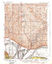
1940 · North Kansas City
USGS Topo · 1:31,680