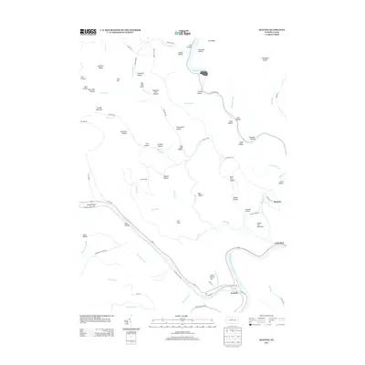
2013 Map of Keating
USGS Topo · Published 2013About this map
Keating sits at the significant confluence where Sinnemahoning Cr joins the West Br Susquehanna River, serving as a focal point for the region's river-based geography. This 2013 survey illustrates the deeply etched drainage patterns of the Allegheny Plateau, where numerous named hollows like Eightmile Dam Hollow and Log Slide Hollow hint at a history of timbering and resource extraction. The settlement of Bitumen remains a notable landmark on the eastern ridge, while the northern reaches are dominated by the waters of Kettle Creek Lake. Much of the riparian corridor is protected within Bucktail State Park, which follows the winding course of the creek and river. The map also traces various upland features such as Savage Mountain and Bushley Ridge, providing a clear view of the area's physical isolation and the way roads like Cooks Run Rd follow the narrow valley floors.
Find a feature on this map
87 named features on this map. Tap any name to fly to it.
Don’t see what you’re looking for? This feature index may not catch every label — zoom into the map to look around manually.
Map Details
Editions of this 2013 Keating Map
This is the sole edition of this map. No revisions or reprints were ever made.
Other maps of this area

1928 · Snow Shoe
USGS Topo · 1:48,000

1929 · Karthaus
USGS Topo · 1:62,500

1931 · Show Shoe
USGS Topo · 1:62,500

1932 · Karthaus
USGS Topo · 1:62,500

1945 · Driftwood
USGS Topo · 1:48,000

1945 · First Fork
USGS Topo · 1:24,000

1945 · Sinnemahoning
USGS Topo · 1:24,000

1946 · Renovo West
USGS Topo · 1:62,500

1946 · Hammersley Fork
USGS Topo · 1:24,000

1946 · Keating
USGS Topo · 1:24,000
Featured Places
- Leidy Township, PA
- East Keating Township, PA
- Bitumen, Noyes Township
- Keating, East Keating Township
- Burnside Township, PA