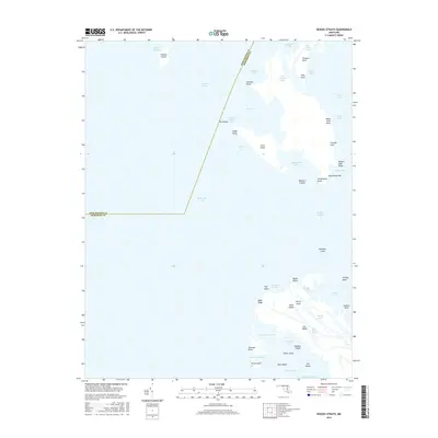
2016 Map of Kedges Straits
USGS Topo · Published 2016About this map
Smith Island and a fragmented archipelago of marshlands dominate this maritime landscape where the Chesapeake Bay meets Tangier Sound. The complex geography of the Eastern Shore is on full display, defined by narrow waterways like Kedges Straits and the Holland Straits that separate low-lying landforms. Several family-named features suggest a long history of local habitation and land use, including Maddox Island, Jones Island, and Joes Ridge. The northern portion of the map is marked by Holland Island, while the southern reaches reveal intricate drainage patterns such as Joes Ridge Creek and Lighting Knot Cove. This survey provides an essential record of the shoreline and maritime boundaries between Dorchester Co and Somerset Co in the early 21st century.
Find a feature on this map
55 named features on this map. Tap any name to fly to it.
Don’t see what you’re looking for? This feature index may not catch every label — zoom into the map to look around manually.
Map Details
Editions of this 2016 Kedges Straits Map
This is the sole edition of this map. No revisions or reprints were ever made.
Other maps of this area

1898 · St. Marys
USGS Topo · 1:125,000

1903 · Crisfield
USGS Topo · 1:62,500

1903 · Bloodsworth Island
USGS Topo · 1:62,500

1903 · Deal Island
USGS Topo · 1:62,500

1906 · St. Marys
USGS Topo · 1:125,000

1917 · Ewell
USGS Topo · 1:62,500

1920 · Crisfield
USGS Topo · 1:62,500

1942 · Terrapin Sand Point
USGS Topo · 1:24,000

1942 · Kedges Straits
USGS Topo · 1:24,000

1942 · Ewell
USGS Topo · 1:24,000