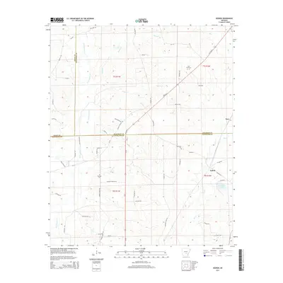
2014 Map of Kedron
USGS Topo · Published 2014About this map
The boundary between Grant, Jefferson, and Cleveland counties intersects in this wooded and creek-carved landscape of central Arkansas. Small settlements like Kedron and Rone serve as focal points for a rural road network that follows the local topography, including Us-79 and numerous named local routes such as Hudson Cemetery Rd and Dunkeffie Rd. The area is defined by its waterways, notably the winding paths of Derrieusseaux Cr and Hudson Cr, which drain into the larger Big Cr system.
Find a feature on this map
60 named features on this map. Tap any name to fly to it.
Don’t see what you’re looking for? This feature index may not catch every label — zoom into the map to look around manually.
Map Details
Editions of this 2014 Kedron Map
This is the sole edition of this map. No revisions or reprints were ever made.
Other maps of this area

1953 · El Dorado
USGS Topo · 1:250,000

1955 · Little Rock
USGS Topo · 1:250,000

1956 · Little Rock
USGS Topo · 1:250,000

1957 · El Dorado
USGS Topo · 1:250,000

1958 · El Dorado
USGS Topo · 1:250,000

1960 · El Dorado
USGS Topo · 1:250,000

1960 · Little Rock
USGS Topo · 1:250,000

1962 · Pine Bluff
USGS Topo · 1:24,000

1962 · Faith
USGS Topo · 1:24,000

1962 · Pine Bluff NW
USGS Topo · 1:24,000