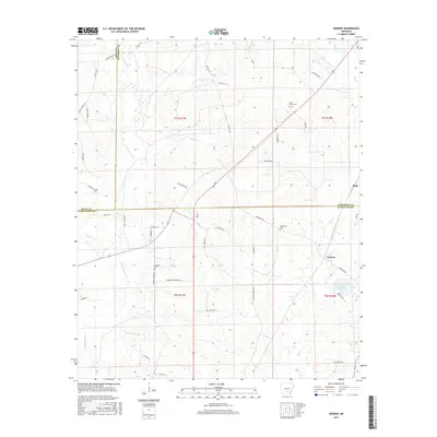
2017 Map of Kedron
USGS Topo · Published 2017About this map
The lowlands where Jefferson, Grant, and Cleveland counties meet are defined by a complex network of slow-moving waterways, primarily Derrieusseaux Cr and its tributaries. In this 2017 landscape, the small communities of Kedron and Rone sit along the eastern edge, connected by a lattice of rural routes like Dunkeffie Rd and Unionville Peace Rd. The map reveals the quiet placement of local landmarks such as Piney Grove Cem and Macedonia Cem, which serve as anchors for genealogists and local historians exploring the family histories of this timber-rich region. The drainage patterns of Hudson Cr and Allgood Cr illustrate the natural topography that has dictated road placement and settlement since the earliest pioneers entered this part of the Arkansas timberlands. Notable local features include Dunkieffie Lake and the various forest roads that provide access to the dense woodland south of the Arkansas River basin.
Find a feature on this map
53 named features on this map. Tap any name to fly to it.
Don’t see what you’re looking for? This feature index may not catch every label — zoom into the map to look around manually.
Map Details
Editions of this 2017 Kedron Map
This is the sole edition of this map. No revisions or reprints were ever made.
Other maps of this area

1953 · El Dorado
USGS Topo · 1:250,000

1955 · Little Rock
USGS Topo · 1:250,000

1956 · Little Rock
USGS Topo · 1:250,000

1957 · El Dorado
USGS Topo · 1:250,000

1958 · El Dorado
USGS Topo · 1:250,000

1960 · El Dorado
USGS Topo · 1:250,000

1960 · Little Rock
USGS Topo · 1:250,000

1962 · Pine Bluff
USGS Topo · 1:24,000

1962 · Faith
USGS Topo · 1:24,000

1962 · Pine Bluff NW
USGS Topo · 1:24,000