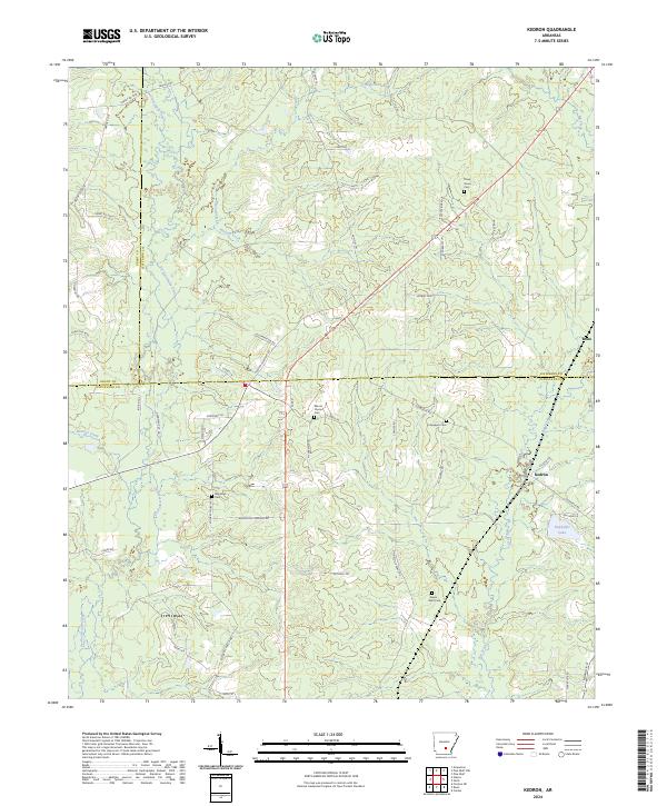
2024 Map of Kedron
USGS Topo · Published 2024About this map
Kedron and the neighboring settlement of Rone sit at a convergence of several Arkansas counties, where timberlands are dissected by a network of local creeks. The landscape is defined by its drainages, including Derrisseaux Creek, Hudson Creek, and Allgood Creek, which flow through the forested sections of the Gulf Coastal Plain. For local historians and genealogists, the map is remarkably dense with family-named burial grounds and rural roads. Significant local landmarks include Mount Carmel Cem, Piney Grove Cem, and Culpepper Cem, providing a detailed look at the scattered communities in this tri-county borderland. Smaller water features like Dunkeffie Lake and Panther Creek mark the low-lying areas, while a web of named forestry roads and trails like H Creed Trl and Huntley Trl weave through the timber tracts that dominate the regional economy.
Find a feature on this map
56 named features on this map. Tap any name to fly to it.
Don’t see what you’re looking for? This feature index may not catch every label — zoom into the map to look around manually.
Map Details
Editions of this 2024 Kedron Map
This is the sole edition of this map. No revisions or reprints were ever made.
Other maps of this area

1953 · El Dorado
USGS Topo · 1:250,000

1955 · Little Rock
USGS Topo · 1:250,000

1956 · Little Rock
USGS Topo · 1:250,000

1957 · El Dorado
USGS Topo · 1:250,000

1958 · El Dorado
USGS Topo · 1:250,000

1960 · El Dorado
USGS Topo · 1:250,000

1960 · Little Rock
USGS Topo · 1:250,000

1962 · Pine Bluff
USGS Topo · 1:24,000

1962 · Faith
USGS Topo · 1:24,000

1962 · Pine Bluff NW
USGS Topo · 1:24,000