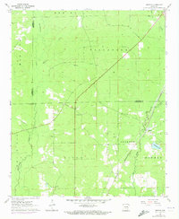
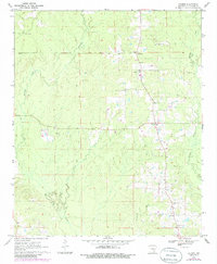
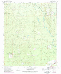
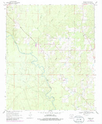
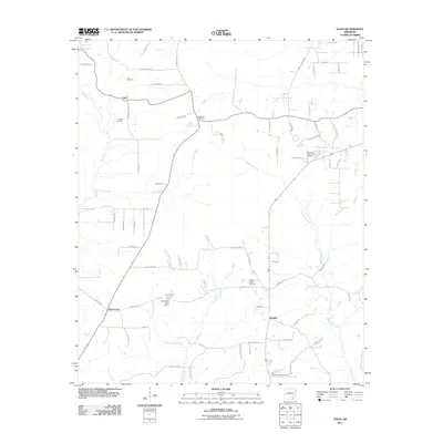
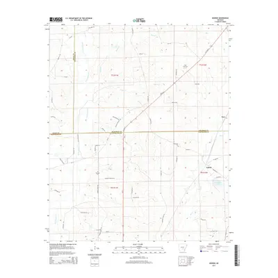
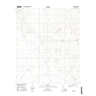
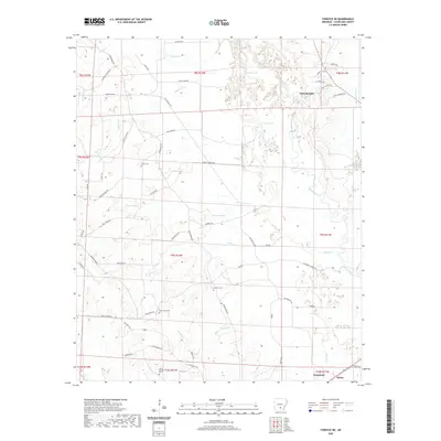
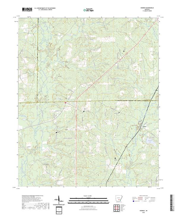
1962 Map of Kedron
USGS Topo · Published 1973About this map
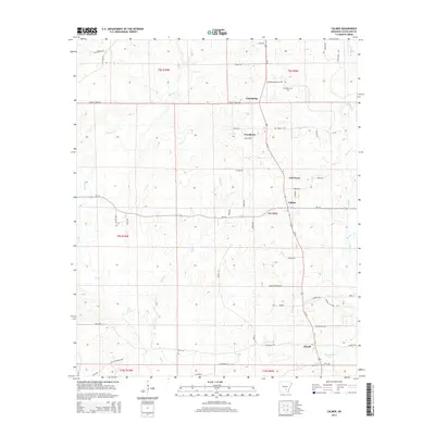
Kedron and the small siding of Rone are central points of interest in this survey of the Arkansas timberlands and creek bottoms. The landscape is heavily defined by the St Louis Southwestern railroad, which cuts a sharp diagonal path across the terrain, passing through the southeastern corner. This rail corridor influenced the location of rural infrastructure, including a Rest Area and various gravel extractions.
Find a feature on this map
26 named features on this map. Tap any name to fly to it.
Don’t see what you’re looking for? This feature index may not catch every label — zoom into the map to look around manually.
Map Details
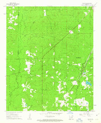
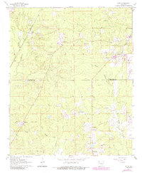
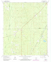
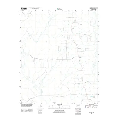
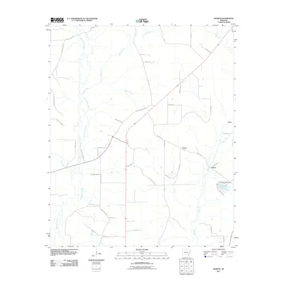
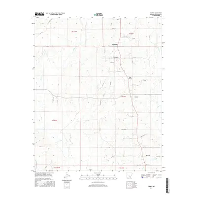
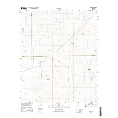
Editions of this 1962 Kedron Map
3 editions found
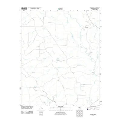
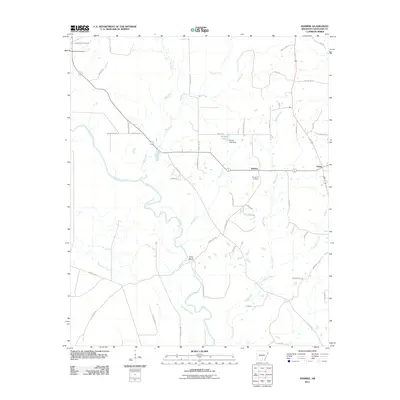
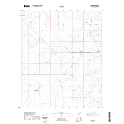
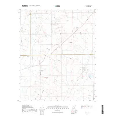
Historical Maps of Rone Through Time
30 maps found
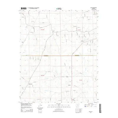
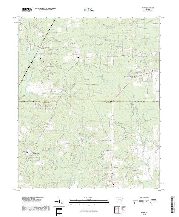
1962 Faith
Cleveland County, AR
1962 Kedron
Cleveland County, AR
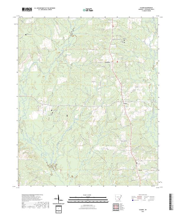
1970 Calmer
Cleveland County, AR
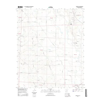
1970 Fordyce NE
Cleveland County, AR
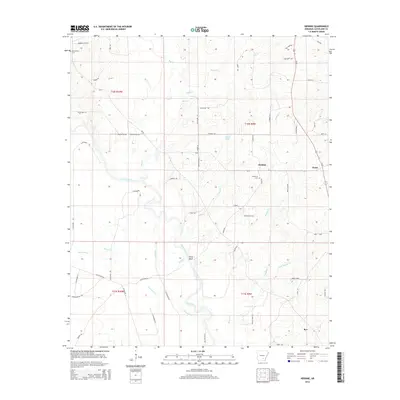
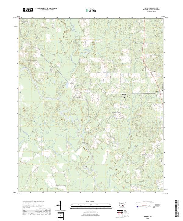
1970 Herbine
Cleveland County, AR
2011 Calmer
Cleveland County, AR
2011 Faith
Cleveland County, AR
2011 Fordyce NE
Cleveland County, AR
2011 Herbine
Cleveland County, AR
2011 Kedron
Cleveland County, AR
2014 Calmer
Cleveland County, AR
2014 Faith
Cleveland County, AR
2014 Fordyce NE
Cleveland County, AR
2014 Herbine
Cleveland County, AR
2014 Kedron
Cleveland County, AR
2017 Calmer
Cleveland County, AR
2017 Faith
Cleveland County, AR
2017 Fordyce NE
Cleveland County, AR
2017 Herbine
Cleveland County, AR
2017 Kedron
Cleveland County, AR
2020 Calmer
Cleveland County, AR
2020 Faith
Cleveland County, AR
2020 Fordyce NE
Cleveland County, AR
2020 Herbine
Cleveland County, AR
2020 Kedron
Cleveland County, AR
2024 Calmer
Cleveland County, AR
2024 Faith
Cleveland County, AR

2024 Fordyce NE
Cleveland County, AR
2024 Herbine
Cleveland County, AR
2024 Kedron
Cleveland County, AR